
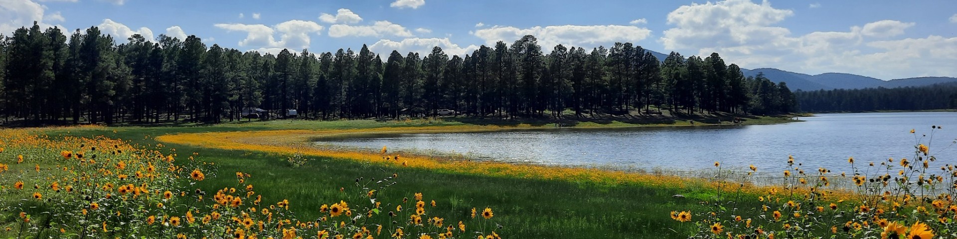
Welcome to Kaibab National Forest
If you are anywhere near Arizona, you won't want to miss the chance to visit us as the forest surrounds the northern and southern portions of the majestic Grand Canyon. From canyons to prairies, peaks to plateaus, the Kaibab National Forest offers layers of opportunity for peace, solitude and discovery.
White Sage and Dragon Bravo fires

Find out about the incredible work being done on the nearly 204,500 acres affected by the 2025 fires on the North Kaibab Ranger District.
Recreation

Camping, cabins, hiking, scenic drives, fishing and snow play—the Kaibab has opportunities for everyone year round.
Find Your Way

Be prepared with maps in your format: interactive, downloadable, and print, including Motor Vehicle Use maps and travel aids.
Forest Products Permits
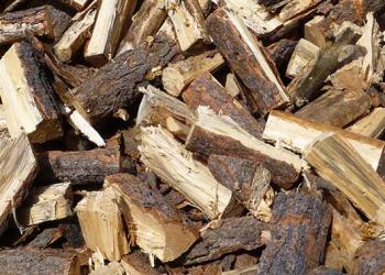
The Kaibab offers opportunities for firewood collection as well as other forest products such as corral poles, fence posts, and stays, Christmas trees, wilding transplants, pine cones and more.
Special Use Permits

Examples of activities that require special use permits includes recreation events, large group gatherings (outside of reserved group sites), communication towers, power lines, pipelines, roads, outfitter/guide businesses and commercial endeavors.
Fee Areas on the Kaibab - 2026 Information

Fee information for campgrounds and day use areas for the 2026 season.
Drake Pozzolan Exploration

Drake Cement, LLC has submitted a draft plan to explore pozzolan on mining claims northeast of the City of Williams near their existing pozzolan mine at Frenchy Hill. On August 18, 2025, the Kaibab National Forest received Drake’s draft Exploration Plan and will now be moving into the environmental analysis phase of the project. The public scoping period is from December 5, 2025 through January 9, 2026.

