





Whitefish Divide Trail
The Whitefish Divide trail is 37.0 miles long. It begins at Werner Divide Road #1658 and ends at Jct. Ninko-thompson Seton Trail. # 28. The Whitefish Divide Trail (Ralph Thayer Memorial Trail) follows the western border of Glacier View Ranger District.
The southern trailhead begins just south of Werner Peak Lookout and is accessed from road #1658.
Portions of this trail are very steep and while easy to navigate, junctions are not well marked. Ridge walks are marked by rock cairns where trail is not as apparent. The trail crosses the road near Red Meadow Campground. This northern section of trail is less traveled.
The trail is open for non-motorized uses.
Specific Trail Information
Trail Number
Trail Type
General Information
Segments of the Whitefish Divide Trail #26 follows the Pacific Northwest National Scenic Trail.
Water is scarce along the trail, and no potable sources are available. Be sure to filter or treat water you collect along the trail.
For backpackers, there is water in China Basin and in wetlands to the north for about 2 miles. There is also a creek at Haines Pass.
Non-motorized
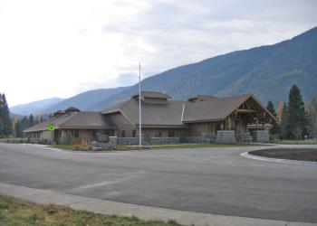
Address: 10 Hungry Horse Drive 10 Hungry Horse Drive, MT 59919
Phone: (406) 387-3800
Hours: Monday - Friday, 8:00am - 4:30pm (Closed on federal holidays)
Getting There
Directions
This trail has several access points, it is best to get a district map.
Additional Information
Operated By
Forest Service


Recreation Groups

The Pacific Northwest National Scenic Trail passes through the Flathead National Forest on its route from Glacier National Park to the Pacific Ocean offers