
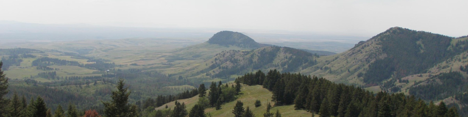
Highwood Mountain Range
The Highwoods Geographic Area is the smallest of the geographic areas within the plan area and encompasses the Highwood Mountains. This isolated island range is located within Cascade, Chouteau, and Judith Basin counties. This geographic area is the closest National Forest System land to Great Falls. The landmass rises up from the confluence of multiple grassland types: foothill grasslands, semi-arid prairie, Missouri Breaks, and unglaciated high plains. All of these types share basic common traits but are slightly different and collectively set the stage for the Highwood’s unique setting.
Bears may frequent the area; keep all food out of sight in approved containers and remove all food from area after eating. Mandatory food storage is required.