
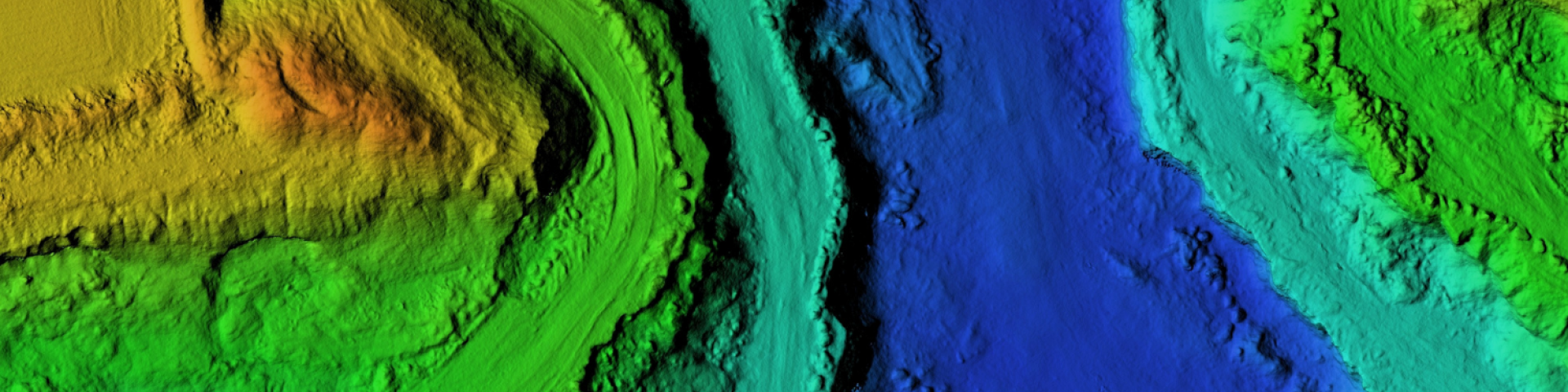
Geospatial Data
Sources of GIS Data
A wide variety of geospatial data is available for the National Forest System. Examples include the forest/grassland boundaries, Forest Service land ownership, management areas, roads and trails, existing vegetation, water related data (streams, lakes) and many others. Our geospatial data is available in ESRI’s geodatabase format.
GIS Data Disclaimer - Please Read
The USDA Forest Service makes no warranty, expressed or implied, including the warranties of merchantability and fitness for a particular purpose, and assumes no legal liability or responsibility for the accuracy, reliability, completeness or utility of these geospatial data, or for the improper or incorrect use of these geospatial data. These geospatial data and related maps or graphics are not legal documents and are not intended to be used as such. The data and maps may not be used to determine title, ownership, legal descriptions or boundaries, legal jurisdiction, or restrictions that may be in place on either public or private land. Natural hazards may or may not be depicted on the data and maps, and land users should exercise due caution. The data are dynamic and may change over time. The user is responsible to verify the limitations of the geospatial data and to use the data accordingly.
USDA is an equal opportunity provider, employer, and lender.
USFS Data Extract tool – This tool allows users to download published U.S. Forest Service data by National Forest or by a user specified area of interest. Output formats include file geodatabase (.gdb) or shapefile (.shp). The viewer creates a zip file downloaded to a user specified location.
USDA Forest Service Geodata Clearinghouse - National Datasets available for download. This includes National Forest and Grassland boundaries, wilderness areas, surface ownership, hazardous fuels, ecological sections, motor vehicle use map (MVUM) data, aerial fire retardant avoidance data, and much more.
National Forest Service Enterprise Data - A single point of access for data collected and managed by the Agency.
All Maps - Standard Map Products - The Forest Service publishes a variety of map products to help you plan your next adventure or enjoy your next visit!
Forest Health Protection (FHP) Aerial Detection Survey (ADS) Dataset - Insect and Disease.
USDA Geospatial Data Gateway - The Geospatial Data Gateway (GDG) is the One Stop Source for environmental and natural resources data, at any time, from anywhere, to anyone.
USGS The National Map- Collaborative effort among the USGS and other Federal, State, and local partners to improve and deliver topographic information for the Nation.
USGS Earth Resources Observation System (EROS) Data Center: Provides a variety of data including elevation, aerial photography, and satellite imagery.