
Santa Fe Companion Trail #1830
This 19-mile, easy-to-moderate trail, between Murphy and Conestoga trailheads, parallels the original Santa Fe National Historical Trail and allows visitors to experience what life may have been like for early trail travelers. The terrain is primarily flat but has gradual inclines across dry drainages and near Point of Rocks.
Limestone posts help mark the original trail, and interpretive signs explain its history.
General Information
Commercial outfitters and guides are required to have a special use permit. Fees vary. Contact the Cimarron National Grassland office for further information.
No water is available on the trail. Drinking water is available at the Murphy and Conestoga trailheads. It is best to carry water with you.
Motorized vehicles are not permitted on this trail.
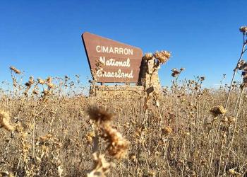
Contact Name: Cimarron National Grassland Office
Contact Phone: 620-697-4621
Address: 242 East Highway 56 Elkhart, KS 67950
Phone: 620-697-4621
Hours: Monday-Friday, 8:00 a.m. – 4:30 p.m. (Closed on federal holidays)
Getting There
Trailhead/Starting Points
Conestoga Trailhead
Murphy Trailhead
Directions
From Elkhart, KS, take U.S. Highway 56 east approximately 7 miles; turn north onto County Road (CR) 16. Continue on CR 16 for approximately 6 miles. Cross the Cimarron River and turn east on Forest Service Road (FSR) 600.1 for approximately 3 miles; then travel north 2 miles on FSR 615 to the Conestoga Trailhead.