
Saguache Region
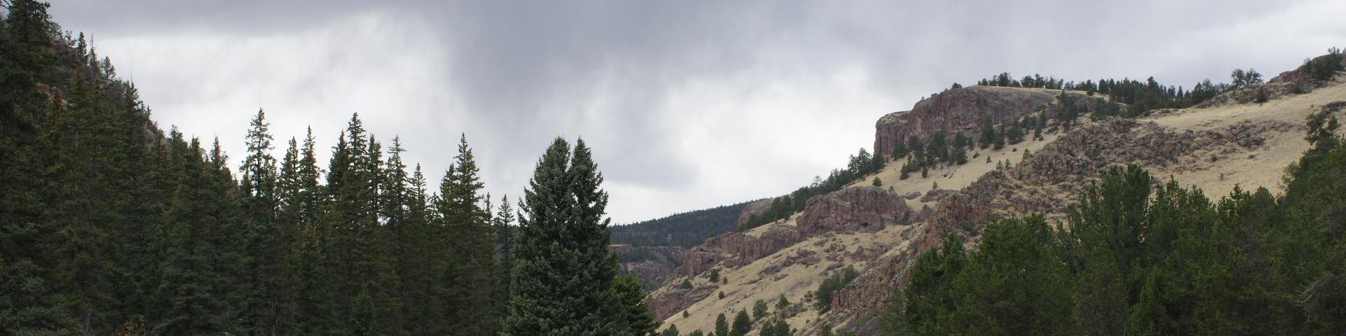
Encompassing much of the La Garita range, this region was ground zero for one of the largest volcanic eruptions known to man. Amazing geologic features all around and historical mining districts are here. The area is bordered by a vast section of public land managed by the Bureau of Land Management.
The region begins near Poncha Pass on the north and extends west/southwest along the boundary with the Gunnison National Forest and the Continental Divide to the La Garita wilderness boundary. It then goes south to Hanson Mill, east to Penitente Canyon along the ranger district boundary and back north to Poncha Pass.
General Information
Camping, hiking, climbing, backpacking, horseback riding, OHV riding and more activities are available.
The region is managed by the Saguache Ranger District.