
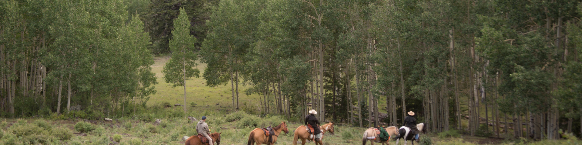
Horse Riding and Camping
Breathtaking vistas can be found around the next bend. Numerous trails and a number of campgrounds geared for horses and their riders can be found on the Fishlake National Forest. Commercial outfitters or guides and groups of 75 people or more must obtain a Special Use permit. Contact the Supervisors Office for more information
Horse Camping
Camping with your trusty steed is an adventure on the Fishlake National Forest! The Tasha Equestrian Campground is a developed camping area located near Fish Lake and Johnson Reservoir that is designated specifically for equestrian use. Other dispersed camping areas offer the space and solitude for you and your four-legged companion.
Search for Horse Riding and Camping Opportunities
Rust Spring Trailhead
Site Open
OverviewRust Spring Trailhead is located approximately 2 miles southwest of Fishlake along Highway 25 at 9,050 feet in elevation. This trailhead provides access to Buck Flat, Hancock Flat and…
Salina Creek Second Crossing Dispersed Camping
Site Open
OverviewSalina Creek Second Crossing Dispersed Camping is located about 24.9 miles from Salina, Utah.FacilitiesFacilities include graveled roads and camp spurs with about 30 dispersed camp sites,…
Salina Creek Trailhead
Site Open
OverviewSalina Creek Trailhead is located 24.7 miles from Salina, Utah, just after the second crossing dispersed Camping turnoff road along Forest Road 009 in Corral Canyon.Natural FeaturesThis site…
Salina Reservoir Dispersed Camping
Site Open
OverviewSalina Reservoir Dispersed Camping is located in along the paved Gooseberry Road 640, about 24.1 miles from Salina, Utah.FacilitiesThere is a gravel parking lot and vault restroom. This is…
Sand Creek Great Western Trailhead
Site Open
OverviewThe Sand Creek Great Western Trailhead is located approximately 1 mile north of Torrey, Utah along Forest Road 146 at 6,950 feet in elevation. This trailhead provides access to the Great…
Sheep Creek Trailhead
Site Open
OverviewThe Sheep Creek Trailhead is in a brush flat along Gooseberry Road 640 at an elevation of about 8,300 feet.FacilitiesFacilities include vault restroom, an information kiosk and a large…
Skyline Big Flat Trailhead
Site Open
OverviewThe Skyline/Big Flat Trailhead is located along FR-514 just south of Puffer Lake and east of Highway-153 at an elevation of 10,235 feet.Natural FeaturesThis site is located in a large meadow…
Skyline Big John's Flat Trailhead
Site Open
OverviewThe Skyline/Big John Flat Trailhead is located along FR-123, just north of Big John's Flat at an elevation of 10,420 feet.Natural FeaturesThis trailhead is located in a small meadow at the…
South Creek (Lower) Trailhead
Site Open
OverviewSouth Creek Trailhead is located southeast of Beaver, Utah along Forest Road 008 at an elevation of 7,420 feet. This trailhead provides access to Paiute Side Trail (PST) #068, one of the most…
South Creek (Upper) Trailhead
Site Open
OverviewThe South Creek (upper) Trailhead is located on the Beaver Ranger District and sits at the junction of Paiute Side Trail (PST) #067 and PST #068. Horse and foot trails #167, #068, #245 and…