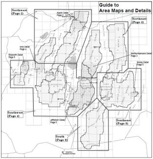
Motor Vehicle Use Maps

The Motor Vehicle Use Map (MVUM) is a requirement of the 2005 Final Travel Management Rule and is a product of the 1997 revision of the Forest Plan and travel management decisions on each ranger district. It displays National Forest System routes (roads and trails) or areas designated as open to motorized travel. The map also displays allowed uses by vehicle class (ex. highway-legal vehicles, vehicles less than 50 inches wide and motorcycles), seasonal allowances, distance allowances, and provides information on other travel rules and regulations.
Routes not shown on the MVUM are not open to public motor vehicle travel. Routes designated for motorized use may not always be signed on the ground but will be identified on the MVUM. It is the public's responsibility to reference the MVUM to stay on designated routes for motor vehicle use.
Downloadable Motor Vehicle Use Map
Printing on your computer:
- Once the Motor Vehicle Map opens, zoom into the area you wish to print.
- From the menu bar select FILE and PRINT.
- Under PAGES TO PRINT select MORE OPTIONS, then CURRENT VIEW.
- Under PAGE SIZING and HANDLING select FIT.
- Select your preferred orientation and PRINT.
Motor Vehicle Use Maps Online at Avenza
If you own a mobile device such as an iPad, iPhone, iPod Touch, Android (4.0.3 or newer), or Windows Phone, you can take the Humboldt-Toiyabe National Forest MVUMs with you. Through a no-cost contract with Avenza Systems, Inc., the Forest Service has made electronic versions of its Motor Vehicle Use Maps (MVUMs) available as free downloads for smartphones and tablets.
Download the Avenza PDF maps app to your mobile device.
With the app and maps installed on your mobile device, you will be able to:
- View your location on the PDF maps using the built-in GPS device
- Measure distances and areas
- Plot waypoints
- View maps offline


