
Incident Information
Inciweb

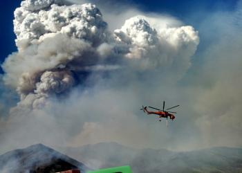
Stay informed about wildfires and natural disasters by visiting InciWeb. Click the button below for real-time updates, safety information, and resources to help you prepare and respond.
Air Quality
Information from AirNow.gov for the state of California - Interactive map is available.