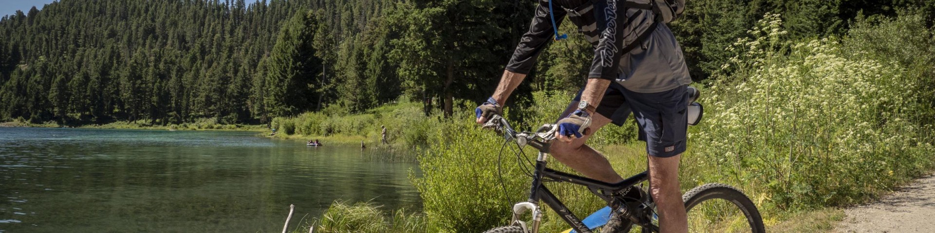
Biking
Our national forests offer mountain bikers miles of roads and trails on which to ride. There are wide, quiet roads for beginners to get acquainted with their bikes and there are challenging, arduous trails that will test the advanced rider.
If you plan to strike out on your own to explore with your bike, it would be wise to buy a National Forest map. Please respect the rights of private landowners and always ask permission before you ride on their land. Also, be aware of the wilderness boundaries when you are riding on the trails. Bicycles are not allowed in the wilderness areas.
Remember to wear protective gear when riding your mountain bike: helmet, gloves and sturdy shoes. Also plan on taking food, water, sunscreen and a basic tool kit on all of your outings. Always maintain control of your bicycle and be ready to stop. Watch for traffic on forest roads. Be aware of hikers and livestock along trails. As a courtesy, please step your bicycle off the downhill side of the trail and allow livestock to pass. Some stock may be afraid of your bicycle, so stay in plain view and speak softly.
Most road bikes cannot handle gravel roads, so make sure you check your route accordingly.
Mountain biking is allowed on all Forest Service Roads, but not on all trails. Please check trail regulations to see if bikes are allowed.
Search for Biking Opportunities
Showing: 11 - 20 of 59 results
Cottonwood Loop Trail #128
Cottonwood Loop Trail #128 begins at Cottonwood Complex Campground and then loops around the entire area. On this loop trail visitors will see beautiful groves of white-trunked quaking aspens, some…
Cottonwood Recreation Area Campground
The Cottonwood Recreation Area, located 45 minutes northwest of Lakeview, Oregon, is one of the busiest campgrounds in the southeast zone of the Fremont-Winema National Forest. Western white pine,…
Cottonwood Trailhead
Provides access to: Cottonwood Loop Trail #128, Cougar Peak Trail #125, and Cottonwood Creek Trail #127. The Cottonwood Trail System, is open to hikers, mountain bikers and horseback…
Cougar Peak Trail #125
This trail provides access from the Cottonwood Meadows Lake Campground to the top of Cougar Peak, one of the highest points in this vicinity. This trail is accessed midway down the Cottonwood Loop…
Cox Pass Trailhead
Provides accesses to: Fremont National Recreation Trail #160 - Middle Segment which is open to hiking, mountain biking, and horseback riding. There is no trail connection south to Mill Trailhead due…
Crane Mountain National Recreation Trail #161
The Crane Mountain National Recreation Trail #161 is located east of Lakeview, Oregon in the Warner Mountains. It connects into the Fremont National Recreation Trail #160 - Southern Segment about 0.5…
Crane Mountain Trailhead
Provides access to: Crane Mountain National Recreation Trail #161. An 8.3 mile portion of this trail, south of the summit of Crane Mountain, is within the Crane-Bidwell Semi-Primitive Motorized…
Currier Guard Station Recreation Rental
Currier Guard Station operated as a guard station from the 1950’s-1970’s for seasonal Forest Service employees. Every summer workers would stay there while they completed maintenance logging,…
Dead Cow Trail #141
This trail runs from the northwest end of Dead Horse Lake down the Dead Cow drainage to a juncture with the Dead Horse Rim Trail #139 which provides the only improved access into the Dead Horse and…
Dead Horse Rim Trail #139
This trail route travels up and over Dead Horse Rim to Forest Road 34. It crosses the South Fork of Dead Cow Creek, Dead Horse Creek, and Augur Creek. It provides the only improved access into the…