
Cowlitz Valley Area
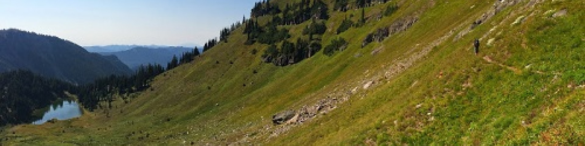
The Cowlitz Valley area is administered by the Cowlitz Valley Ranger District. This area is located in the Northern most portion of the Gifford Pinchot National Forest in southwest Washington, and comprises about 575,000 acres of the Gifford Pinchot National Forest. The Cowlitz Valley area is roughly located among three volcanic peaks: Mt. Adams to the east, Mt. Rainier (Tahoma) to the north, and Mt. St. Helens Volcanic Monument to the west. A line connecting Mt. Adams and Mt. St. Helens following the Boundary Trail #1 makes up the southern boundary. On clear days this trail affords spectacular views.
Nearby towns include Packwood, Glenoma, Morton and Ashford. The area has numerous campgrounds and over 500 miles of trails for a wide variety of users. Cowlitz Valley Ranger District manages four Wilderness areas including the Goat Rocks Wilderness, Glacier View Wilderness, Tatoosh Wilderness and William O Douglass Wilderness. Major River Drainages include the Cowlitz River, Clear Fork of the Cowlitz, and the Cispus River.
Nearby attractions include East entrance (Blast Zone) to Mt. St. Helens National Volcanic Monument and Mt. Rainier National Park. Mt. Rainier Information and Contact
General Information
Operational Hours:
- Monday Thru Friday 8 a.m. to 4 p.m. *closed for lunch 12:15 to 1 p.m. daily. (Not open weekends or National Holidays)
Directions:
- The Cowlitz Valley Ranger Station is located on the south side of US Highway 12 in Randle, just west of the school.
Cowlitz Valley Ranger Station
10024 US Highway 12,
PO Box 670
Randle, Washington 98377
Phone: (360) 497 1103
Phone/TTY: (360) 497 1101
Passes & Permits
Reservations:
- Our office does not handle any campground reservations. You must call 1-877-444-6777 or visit the website Recreation.gov - Camping, Cabins, RVs, Permits, Passes & More .
Fees:
- Some trailheads require a valid Recreation Pass.