





Suntop Trailhead
This trailhead provides access to the Suntop Trail 1183 from the bottom near Ranger Creek Campground. There is a small parking area fitting several vehicles and a trail sign just off the road a short distance south from the backcountry airstrip.
Active Alerts
General Information
A valid Recreation Pass may be used as a form of fee payment.
Day Use:
$5 per vehicle per day
$30 per annual
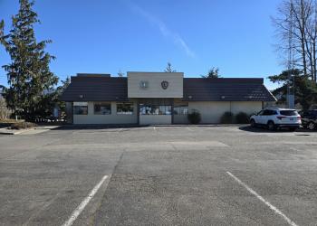
Address: 450 Roosevelt Ave. E. Enumclaw, WA 98022
Phone: (360) 825 - 6585
Hours: Open Wednesdays and Fridays from 9:00 am to 3:00 pm; closed for lunch (noon - 1:00 pm) (Closed on federal holidays)
Getting There
Latitude / Longitude
Latitude: 47.00824283
Longitude: -121.53242488
Directions
Drive east on State Highway 410 from Enumclaw 29.9 miles to Buck Creek Road (Forest Service road 7160). Turn right (east) onto Forest Service road 7160 and follow it 0.3 mile to Forest Service road 7160. Turn left (south) onto Forest Service road 7160210 and follow it 0.8 mile to the Suntop Trailhead. There is a small parking area with a sign and space for several cars.
Facility and Amenity Information
Restrooms
Restrooms are not available at this site.
Water
Potable water is not available at this site.


