





Cache Meadow Trail #702
This trail enters the Roaring River Wilderness. The trail travels through mature sub-alpine timber and passes two meadows and two seasonal lakes before ending at Cache Meadows.
The trail begins at Forest Road 4635-140 (4,080 feet), travels gradually uphill 1.7 miles, and ends at Cache Meadow (4,400 feet). Visitors can make a point-to-point, 10-mile hike by leaving a car at the trailhead for Dry Ridge Trail #518 at the Roaring River Campground (approximately 0.5 mile past milepost 41 on Hwy 224). To complete the 10-mile hike, turn left (north) onto Grouse Point Trail #517 from the end of this trail (#702). Travel northwest 3.8 miles on #517 to Dry Ridge Trail #518. Turn left (west) on #518 and travel 5.2 to the trailhead at Hwy 224.
Active Alerts
Specific Trail Information
Trail Type
General Information
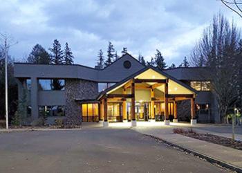
Address: 16400 Champion Way Sandy, OR 97055
Phone: 971-333-4100
Hours: Monday to Friday, 8 a.m. to 3 p.m. Closed 12 to 1 for lunch. (Closed on federal holidays)
Getting There
Directions
From Portland, OR - travel east on US Hwy 26 to Sandy. Turn right (southwest) on OR Hwy 211 and travel 6.1 miles to OR Hwy 224. Turn left (southeast) on OR Hwy 224 and travel 30.1 miles to Pint Creek Road (Forest Road 4631), approximately 0.4 miles south of milepost 49. Turn left (east) on Pint Creek Road and travel 4.1 miles to Forest Road 4635. Follow Forest Road 4635 for 7.5 miles to Forest Road 4635-140.
Turn right (southeast) on Forest Road 4635-140 and travel 1.2 miles to the trailhead on the south side of the road. A second trailhead for this trail is found 0.6 mile further along Forest Road 4635-140 on the north side of the road (approximately 0.2 miles past Cripple Creek Quarry).


