
Winter Sports
Winter sports in the United States are popular, both professionally and rec
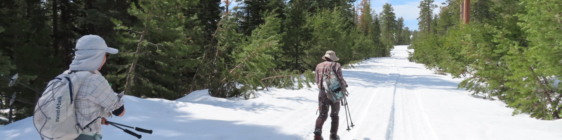
XC Skiing/Snowshoeing
The Bull Gap Nordic Ski Trails offer 8.1 miles of trails that pass through high alpine forests on Mt. Ashland. Trails range from “Easiest” to “Most Difficult,” so no matter your skill level, there is something for everyone. When the wind is blowing, Bull Gap is a good alternative to the Grouse Gap Trails on the south side of Mt. Ashland.
The 5.7 mile Bull Gap Trail links the Bull Gap Sno-Park to the Mt. Ashland Ski Area. Beginning at Bull Gap Snow-Park, the trail follows snow-covered road 2080 to Bull Gap (3.3 miles). The elevation loss is about 600 feet and the trip down is a pleasant one with some nice views, including Mt. McLoughlin to the northeast. Bull Gap is a four-way intersection at a saddle on the ridge between Neil Creek and Ashland Creek. From Bull Gap, the trail turns uphill on Forest Road 200 to the left and climbs 1100 feet in 2.5 miles to the Mt. Ashland Ski Lodge. The road from Bull Gap to the Ski Lodge is easy to follow.
The Crest Loop is a 2 mile side loop off of the Bull Gap Trail for skiers of advanced/intermediate skill. It is most enjoyable when skied in the counterclockwise direction. The loop begins at the junction of the Bull Gap Trail (Forest Road 2080) and the Pacific Crest National Scenic Trail, about 0.4 mile from the Sno-Park. The route follows the Pacific Crest National Scenic Trail for 0.8 mile, mostly through the trees, then zig-zags steeply downhill through the woods to Forest Road 050, which returns to the Bull Gap Trail. From the Sno-Park, the Crest Loop is 3.4 miles roundtrip, with 440 feet of elevation lost and regained.
- Bull Gap Nordic Ski Trails Recreation Opportunity Guide (includes map)
- Bull Gap Nordic Ski Trails Map