An official website of the United States government
Here's how you know
Official websites use .gov
A .gov website belongs to an official government organization in the United States.
Secure .gov websites use HTTPS
A lock (
) or https:// means you’ve safely connected to the .gov website. Share sensitive information only on official, secure websites.
This page provides a list of projects that have either recently been completed or that are currently underway through the National Environmental Policy Act process. This process includes a scientific analysis of proposed actions in an effort to make the best decisions concerning land management. Depending on whether or not a proposed action could significantly affect the natural environment, either a Categorical Exclusion (CE), an Environmental Assessment (EA), or an Environmental Impact Statement (EIS) is prepared. These documents involve analyzing the effects of the proposed action and may include considering alternatives and require public notice and comment. They result in one of the following NEPA decisions: Decision Memo (DM), Decision Notice (DN), or Record of Decision (ROD).
Note: Not all projects may appear on the map. See the list below for a more complete list.
Stay Informed
Sign up to receive email updates on selected projects being planned on the
Willamette National Forest
The Forest Service follows NEPA regulations issued by the U.S. Department of Agriculture. Under this rule, Forest Service officials determine which proposed projects are shared for public input.
The agency no longer issues a schedule of proposed actions (SOPA) report. Below is the current list of proposed projects available for review—your opportunity to learn more, share feedback, and stay engaged in decisions that shape the future of our public lands.
Expand the Santiam Pass Oregon Department of Transportation (ODOT) rock disposal site by 5 acres and build a short connecting road to the Santiam sand
shed. Accomplished by blading away native soil and vegetation with standard earth moving equipment.
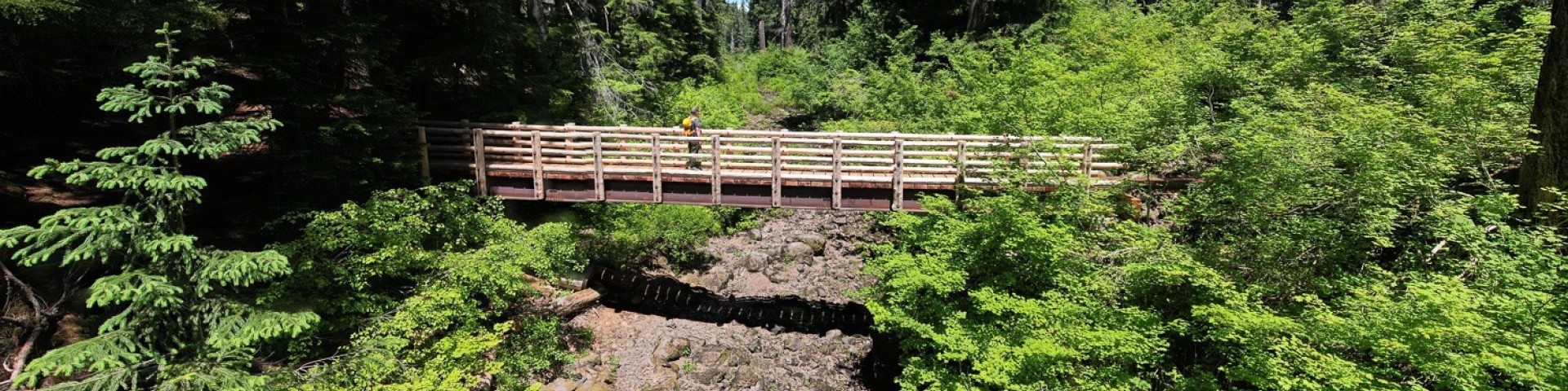
McKenzie River Ranger District wants to complete construction of a short
trail connection between the newly installed trail bridge at the Deer Creek to Forest Service Road 2654 in support of the McKenzie River National Recreation Trail #3507.
This project will provide weather data to support a long-running research project on the Monkey flower. A small weather station will be installed by digging a hole approximately the size of a 5-gallon bucket and filling it with cement to anchor it.
The USGS will install a Passive-Integrated-Transporter (PIT) tags in the
South Fork of the McKenzie River, upstream from Cougar Reservoir. It will operate in association with an existing USGS stream gage.
The Detroit Ranger District proposes to commercially thin approximately 33 acres in a plantation stand that is 65 years old. The purpose of the project is to increase stand health and vigor and provide timber to the local economy.
The McKenzie River Ranger District is proposing to add a temporary dock to the boat launch at the Big Lake Campground Boat Launch. The proposed dock will be a temporary dock that can be pulled in and out each season.
We are proposing to remove damaged trees at the Blair Lake Campground that were affected by the Cedar Creek Fire. The campground was heavily impacted by the fire and is currently closed to public access due to the dangerous conditions.
The Breitenbush floodplain restoration will improve watershed and habitat conditions affected by historic management actions, the 2020 Beachie-Lionshead Fires, and subsequent post-fire emergency actions.
This project area encompasses 45,041 acres and is located on the McKenzie River and Sweet Home Districts of the Willamette National Forest north of Blue River, Oregon. Harvest units are in two sub watersheds, with 281 units totaling 5,886 acres.
Underground plastic holding tanks would be installed at many campgrounds within 10 feet of trailer pad. If the current host site is unsuitable, a new site could be selected. Parking barriers would be installed to prevent driving over tanks.
Oregon Cascades Recreation Area remains disconnected between the west and east sides as it stands. No bike-legal single track route exists from the popular Timpanogas area to the Windy Lakes. This proposed cutoff will create better connectivity.
In 2020, the Lionshead Fire destroyed 70 recreation residences (cabins) on the Devil's Creek and Breitenbush Forks tracks. This project is to allow the rebuild of the fire-destroyed cabins, where appropriate.
This project would commercially harvest about 1,918 acres of managed and natural stands to enhance the growth and structural complexity of the stands. Project also includes meadow restoration and sugar pine habitat restoration.
Project to address the need for vegetation management to increase stand growth and diversity and support the local economy. Proposed action includes
commercial thinning harvest and restoration activities.
The purpose of this project is to reduce the abundance of ladder fuels and canopy densities adjacent to Fish Lake Historic Site that is within the Wildland
Urban Interface (WUI).
This project would remove floral greens: beargrass, salal, fern fronds, and vine maple/ceanothus sticks. This would occur on approximately 28,523 acres of the McKenzie River Ranger District. The sell of these products will be done under permits.
The District is proposing to return a 3.2 mile segment of FSR 2209 between the Opal Creek trailhead and Jawbone Flats to pre-Beachie Creek Fire condition. Road work may include culvert replacement, drainage repair, and incidental hazard tree removal.
The proposed action is to fall hazardous trees at developed recreation sites within the portions of the Detroit Ranger District burned by the Beachie Creek and Lionshead fires of 2020.
This project would commercially harvest about 2037 acres of managed and natural stands to enhance the growth and structural complexity of the stands. Project also includes road density management, fuels improvement, sugar pine habitat restoration.
Reduce the risks posed by fire-killed and injured trees that have fallen across or remain standing along important access routes of the Cedar Creek, Gales and Bedrock fire-affected road system. (Formerly known as Cedar-Gales Roadside Risk Reduction)
A special use permit has been requested by the University of Louisiana at Lafayette to install four weather stations around the common monkeyflower sites to monitor temperature and soil moisture.
The Detroit Ranger District is proposing to create fuel breaks to reduce hazardous fuels on strategic roads across the District: 10, 1012, 2212, 2236, and low severity burn sections of 2231 and 2233.
The McKenzie River Ranger District is proposing 125 acres of variable density thinning in nine 30–40-year-old plantation stands. Thinning these stands will slow fire spread, making the nearby Strube Fire Camp more defensible should wildfire spread near the camp.
Improve spawning and rearing habitat in Soda Fork Creek for Upper Willamette Winter Steelhead and Spring Chinook that are listed as Threatened under the Endangered Species Act and improve stream complexity in Soda Fork Creek.
This project will expand the the restoration area initially included in the 2018 Lower South Fork McKenzie River Floodplain Enhancement Project Environmental Assessment and provide recreational opportunities near the Delta Campground area.
The project objective is to improve stream habitat to aid recovery of the Endangered Species Act listed Upper Willamette Winter Steelhead and Spring Chinook Salmon by tipping approximately 25 trees into the South Santiam River.
Project to address the need for vegetation management to increase stand growth and diversity and support the local economy. Proposed action includes commercial thinning harvest and restoration activities.
Thinning with skips and gaps in about 3,200 acres, meadow restoration, floodplain restoration, roadside fuels reductions, dispersed campsite reconfiguration, travel management, and quarry development.
This project would establish a permanent site for accommodating fire camps, and secure the site from motor vehicles by installing four gates at the entrances.
The McKenzie River Ranger District is proposing to treat approximately 63 acres located in four stands. Stands #1-3 are approximately 30 years old, whilestand #10 is approximately 110 years old.
Allow ground-based equipment to operate outside of the road prism to conduct fire killed and injured tree felling previously authorized by the 2020 Fire Affected Road System Risk Reduction project #61749.
A vegetation management project in collaboration with the Oregon Department of Forestry under the Good Neighbor Authority is in development. The potential proposed action would treat up to 7,898 acres through thinning and roadside shaded fuel breaks.
The district proposes to treat 1,069 acres of under 80 stands using thinning, dominant tree release, gap creation, and skips. Meadows would be restored and fuels treated.
Forest management treatments are proposed on approximately 6,500 acres within the project area. Treatment proposed include thinning, early seral creation, fuel reduction, habitat restoration, system road management, recreation management.
Project Archive
Some of our older projects can be accessed in our Project Archive.
Carbon stewardship
Climate change adaptation
Environmental justice
Facility management
Forest products
Fuels management
Grazing management
Heritage resource management
Land acquisition
Land management planning
Land ownership management
Minerals and geology
Projects that may affect wilderness (for mailing list contacts)
Recreation management
Regulations, directives, orders
Research
Road management
Special area management
Special use management
Unknown
Vegetation management (other than forest products)