

Current Conditions
For recreation site specific information please visit our recreation page.
Know Before You Go: Current Conditions
For current trail conditions, please contact the ranger station of the district you are looking to explore. Forest Service roads are not maintained for snow and ice. Snow, trees, or debris on Forest Service roads may impact access to trailheads.
If you have questions about specific roads not listed, please contact the appropriate ranger station.
Additional road condition information, including winter travel, is available from the Oregon Department of Transportation’s Trip Check.
Road Conditions by District
Forest Service roads are not maintained for snow and ice. Expect and be prepared for winter driving conditions. Some roads may be closed by snow, trees, or debris across the road.
Detroit Ranger District
Trip Check Cameras
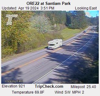
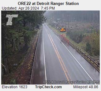
Detroit Ranger District Phone: 503-854-3366 | ||
|---|---|---|
FOREST ROAD NAME | CONDITIONS | REMARKS |
| OR HWY 22 | OPEN | For the most current road conditions visit TripCheck.com. |
| Clackamas-Breitenbush Scenic Byway (Forest Rd 46) | OPEN | Debris from winter storms may impact access. Road is not maintained for snow and ice. Sections may not be passable in the winter. Call 503-854-3366 for conditions from Hwy 22. |
| CLOSED | Closed for public safety. Roads inside Beachie Creek and Lionshead Fires closure. |
Sweet Home Ranger District
Sweet Home Ranger District: 541-367-5168
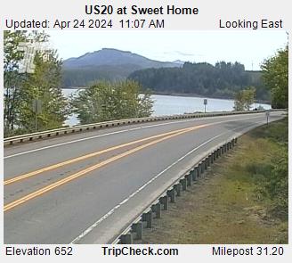
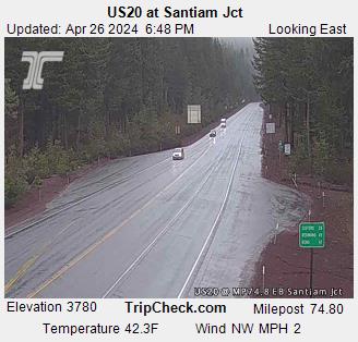
Trip Check Cameras
- ODOT Highway 22 road camera at Sweet Home
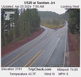
- ODOT Highway 20 road camera at Santiam Jct (Looking East)
- ODOT Highway 20 road camera at Santiam Jct (Looking West)
- ODOT Highway 22 road camera at Santiam Pass
McKenzie River Ranger District
Trip Check Cameras
- ODOT Highway 20 road camera at Santiam Jct (Looking East)
- ODOT Highway 20 road camera at Santiam Jct (Looking West)
- ODOT Highway 22 road camera at Santiam Pass
McKenzie River Ranger District Phone: 541-822-3381 | ||
|---|---|---|
FOREST ROAD NAME | CONDITIONS | REMARKS |
| Highway 242 (Old McKenzie Highway) | OPEN | McKenzie Highway closes annually from early-November to mid-June. Opening date is weather dependent. For the most current road conditions visit TripCheck.com. |
| Aufderheide Scenic Byway (Forest Service Road 19) | OPEN | Road is not maintained for snow and ice. Sections may not be passable in the winter. Call 541-822-3381 for conditions from Hwy 126. |
| Forest Road 689 | CLOSED | EWEB is upgrading equipment at the Carmen-Smith Hydroelectric facility. In order complete the project safely, Forest Service Roads 690, 730, and 689 will be closed to all public use through the year 2025. The McKenzie River Trail and associated trailheads will remain open. |
| Forest Road 690 | CLOSED | |
| Forest Road 730 | CLOSED | |
| Wapati Road (Forest Service Road 1993) | CLOSED at milepost 31.6 | Road closed at milepost 31.6, about 3 miles from the junction with FS Road 2638 due to a landslide. Proposed date for repair is undetermined at this time. |
Middle Fork
Trip Check Road Cameras
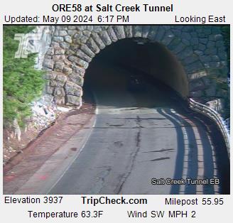
- ODOT Highway 58 road camera at Salt Creek Tunnel (Looking East)
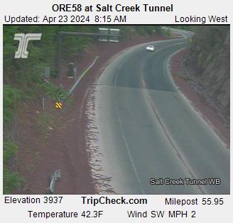
- ODOT Highway 58 road camera at Salt Creek Tunnel (Looking West)
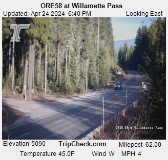
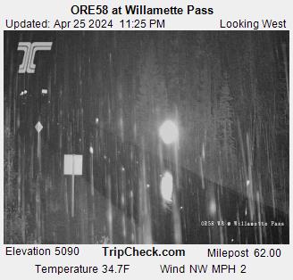
- ODOT Highway 58 road camera at Willamette Pass (Looking East)
- ODOT Highway 58 road camera at Willamette Pass (Looking West)
Middle Fork Ranger District Phone: 541-782-2283 | ||
|---|---|---|
FOREST ROAD NAME | CONDITIONS | REMARKS |
| Sinker Mountain Road (Forest Service Road 1835) | CLOSED | Road closed between the junctions of 1835-240 and 1835-365 due to a slide in the area |
| Forest Service Road 1912-653 | CLOSED | Dead end road closed at junction with 1912-653-701 due to a slide in the area |
| Aufderheide Scenic Byway (Forest Service Road 19) | Call McKenzie or Middle Fork Ranger District for conditions. | Road is not maintained for snow and ice. Sections may not be passable in the winter. Call 541-822-3381 for conditions from Hwy 126. |
| Forest Service Road 2308 | Impassable | The hillside has slid off taking the road with it. |
The Willamette National Forest spans a large area. Look for the National Weather Service report closest to your planned activity.
Always scout the route and check the Oregon State Marine Board Boat Oregon Online Map for known hazards before going out on the river.
View latest snow levels on SnoFlo.