





Hampton Boat Launch
Hampton Boat Launch is located on Lookout Point Reservoir, and offers boating and fishing.
The reservoir is wide-open in this area, with few trees dotting the shoreline. The site offers convenient access to Oregon State Highway 58. Note that the railroad adjacent to the site is active at all hours, and there will be noise from the trains signaling their approach to the grade crossing.
Overall, this site is fairly rustic with few amenities. Those boating and fishing the river or the reservoir utilize the adjacent boat ramp when the water level is high. To check if the reservoir is high enough to use the boat ramp visit: https://www.nwd-wc.usace.army.mil/nwp/teacup/willamette/lop.pdf
General Information
Boating Regulations & Boating Safety: Oregon State Marine Board manages boating regulations. Visit their website for boating regulations and safety information. They also have links to information about water levels in the reservoirs.
Fishing Regulations & Information: Oregon Department of Fish and Wildlife manages fishing regulations. Visit their website for information on fishing seasons and fishing licenses.
Reservoir and River Level Information: From the US Army Corps of Engineers.
Close to:
- Hardesty Trail Area
- Black Canyon Campground
- Alpine Ridge - Salmon Creek Trail Area
Late spring - Early fall
Dawn to dusk
- Maximum trailer length 36 feet
- Use of chainsaws prohibited
- Dogs MUST be in leash at all times while in the day use area
Recreation Passes may be used as a form of fee payment
Day Use:
$5 per vehicle per day
- Fee- $5 per vehicle per day
Within developed recreation sites, dogs must be on a leash no longer than 6 feet, or otherwise under physical restrictive control. 36 CFR 261.16(j)
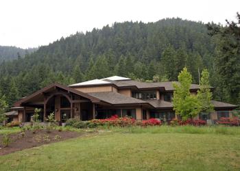
Address: 46375 Highway 58 West Fir, OR 97492
Phone: (541) 782-2283
Hours: Monday-Friday, 10:00 a.m. - 4:30 p.m. (Closed on federal holidays)
Office Email: sm.fs.mfrd@usda.gov
Getting There
Latitude / Longitude
Latitude: 43.81527778
Longitude: -122.5944444
Directions
Approximately 9 miles west of Oakridge, Oregon.
From the junction of Crestview Street and Highway 58 (the only traffic light in Oakridge along Oregon State Highway 58), travel west on Highway 58 for approximately 9 miles. The destination will be on your right.
Facility and Amenity Information
Restrooms
Vault toilet(s)Water
Potable water is not available at this site.
Recreation Opportunities


 Fishing - Lake & Pond