





Border Route Trail
This trail is 53 miles long and is a part of the Boundary Waters Canoe Area Wilderness. The trail follows the Canadian/Minnesota border. It connects to both the Kekekabic and Superior Hiking Trails, and is part of the North Country National Scenic Trail.

Specific Trail Information
Trail Number
Trail Type
General Information
Safety
You have the responsibility to be adequately prepared for a trip in the wilderness with
- good footwear,
- ample water,
- emergency supplies, and
- sufficient time to make the trip.
You should be self sufficient: there is no cell phone coverage, and due to the nature of the trail, there is no easy way to get assistance in, nor any easy way to get people out in emergencies.
Travel
- A compass and accurate map are essential.
- Bring reliable maps. Maps can be purchased at some Forest Service offices, area businesses and outfitters, or directly from the map companies.
- If you get lost, don’t panic. Sit down, relax and think. Chances are that you will figure out your location in a few minutes.
- If you plan to use a Global Positioning System (GPS) for navigating, be sure you also bring a map and compass as a back up in case your GPS unit fails.
- Dress in layers and be prepared for every kind of weather situation.
This trail is open year-round.
You will need a permit to enter the Boundary Waters Canoe Area Wilderness.
- Border Route Trail-East: BWCAW entry point #83.
- Border Route Trail-Center: BWCAW entry point #82.
- Border Route Trail-West: BWCAW entry point #81.
Thru-hikers please use one of the following entry points:
- North Country Trail - East (thru-hike): BWCAW entry point #90.
- North Country Trail - West (thru-hike): BWCAW entry point #91.
- Early issuance for BWCAW Overnight Hiking permits is available to North Country Trail thru-hikers when logistics require. Text reservation number to 218-600-6562 at least 2-weeks prior for approval or call 218-626-4314.
Boil or filter your water
When visiting, please remember
- Trails are for non-motorized use only.
- Only use facilities that are provided for fires, tents, and waste.
- Do not make additional fire rings, tent pads, or cat holes.
- You will need to pack out your garbage.
- Nine people per site limit, group sites are available at some sites.
Pets/Dogs
- Dogs are allowed on hiking trails, as long as they are kept on a leash. Unleashed dogs can pose a danger to your pet, the natural resources of the area, and other forest visitors.
- Do not allow them to interact with wildlife.
Make sure to thoroughly read the Boundary Waters Canoe Area Wilderness page and the Boundary Waters Canoe Area Wilderness Trip Planning Guide for tips on wilderness trip preparation.
Prior to reserving your permit, please also review the following:
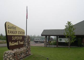
Address: 2020 W. Highway 61 Grand Marais, MN 55604
Phone: (218) 387-1750
Hours: October 1, 2026, to April 30, 2027: Tuesday-Thursday, 9:00 a.m. to 4:00 p.m. (Closed on federal holidays)
Office Email: SM.FS.Superior_NF@usda.gov
Additional Information
Operated By
USDA Forest Service, Border Route Trail Association, North Country Trail Association
Nearby Recreation Sites


Recreation Groups

The Boundary Waters Canoe Area Wilderness (BWCAW) is a unique area located in the northern third of the Superior National Forest in northeastern Minnesota.

The 4,800-mile North Country National Scenic Trail takes visitors across federal, state, county and private land. Upon completion the trail will extend from Crown Poi