
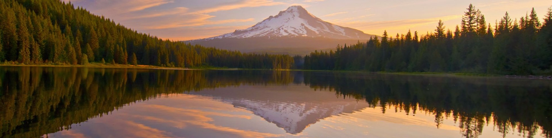
Welcome to Mt. Hood National Forest
The Mt. Hood National Forest encompasses 1.1 million acres. There are four ranger districts on the Forest that include a wide variety of ecosystems centered around Mt. Hood, the tallest mountain in Oregon: Barlow, Clackamas River, Hood River, and Zigzag Ranger Districts. This volcanic mountain is 11,125 feet tall and beloved across the state. Approximately one-third of the Forest is designated wilderness.
Mt. Hood National Forest offers a range of year-round recreation opportunities including skiing, hiking, fishing, and boating. The Forest also provides about one-third of the state's drinking and agricultural irrigation water.
Plan Your Visit
Always Carry a Map

Get your destination safely and always use a map on national forests. Unfortunately, your phone's GPS navigation app can be inaccurate and lead you astray. Learn which maps are right for you and how to get them!
Cutting Firewood
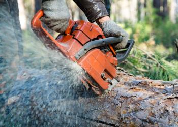
Firewood season is open April 15 to November 30, 2025. Firewood cutters are required to have a valid firewood permit along with load tags, firewood cutting map, and a current firewood information sheet.
Summiting a Glaciated Volcano
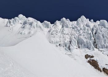
Mt. Hood climbers traveling above 9,500 feet elevation must carry the Mt. Hood Climbing Permit, available for purchase on Recreation.gov. Mt. Hood climbing rangers share climbing conditions twice weekly from April through early July.
Recreation Residences
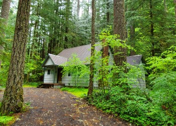
Mt. Hood National Forest is home to 549 privately-owned recreation residence cabins dating back to 1915. Current and future cabin owners have certain regulations they must follow.
National Forest Roads

Maintaining the Forest's 3,000 miles of roads is a lot of work and natural events like landslides or flooding can occur any time. Learn how you can be prepared for changing conditions on National Forest Roads.
Camping in Solitude
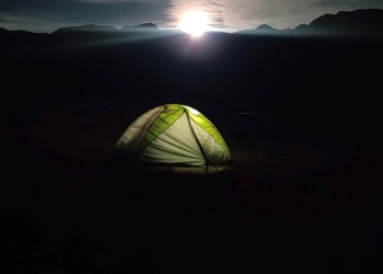
Dispersed camping, or camping outside of designated campgrounds, is a great way to enjoy the peace and solitude of the Forest. Learn about camping regulations and Leave No Trace ethics before your next weekend adventure!
Current Fire Restrictions & Incidents
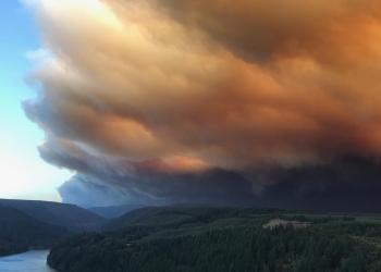
Fire restrictions can impact whether you're allowed to have campfires or cut firewood. Stay current on local fire restrictions and wildfire information.
Northwest Forest Plan & Amendment
The Northwest Forest Plan covers 24.5 million acres of federally managed lands in California, Oregon, and Washington. It was established in 1994 to address threats to threatened and endangered species while also contributing to social and economic sustainability in the region. Over 30 years later, the Northwest Forest Plan needs to be updated to accommodate changed ecological and social conditions.
