
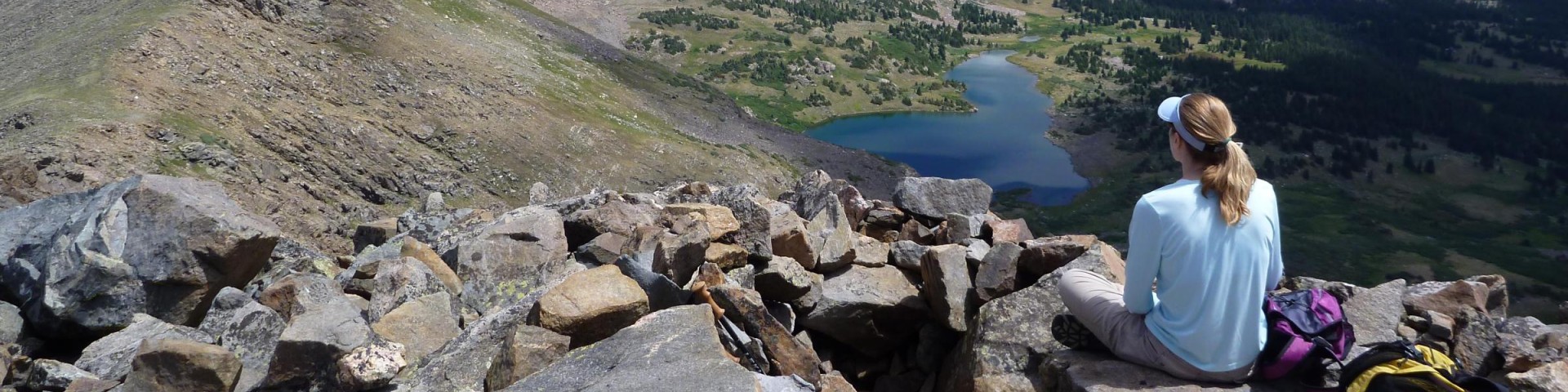
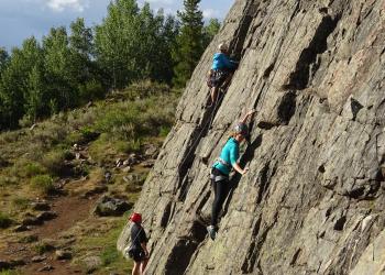
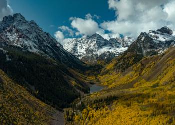
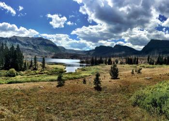
Recreation
Use the search function below to find information about specific recreation sites. To browse by Ranger District, select "Recreation Regions."
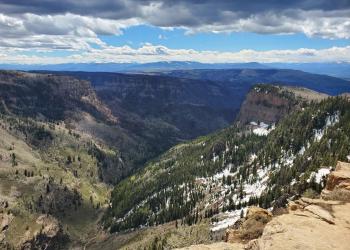
The White River National Forest offers outstanding year-round recreation.


The Aspen-Sopris Ranger District manages lands in the Roaring Fork River drainage from Carbondale to the summit of Independence Pass
The Blanco Ranger District manages the majority of the Flat Tops Wilderness and White River drainage east of Meeker

The Dillon Ranger District manages lands from the Blue River drainage to the summit of Vail Pass

The Eagle - Holy Cross Ranger District manages lands from the summit of Vail Pass, through Glenwood Canyon
The Rifle Ranger District manages the west end of Glenwood Canyon, north and south of the Colorado River

Recreation
Acorn Creek TH #71
This trail offers the hiker solitude as well as an excellent opportunity to view wildlife. You will hike through beautiful Aspen groves, sagebrush meadows, and forests of spruce and fir trees before…
Adams Lake Road #601.2C
Adams Lake Road is accessible from Forest Road 601. The Road is 0.88 miles long and leads visitors to the northeast side of Adams Lake. Adams Lake is a fantastic setting for dispersed camping…
Aldrich Lakes Rim #2251
The Aldrich Lakes Rim Trail runs east-west from FS251 to FS252. The east end of the trial is rocky and rutted, and requires technical skills to traverse safely. It is not recommended for beginners.
American Lake TH #1985
ALERTS:• Bear canisters are required for all backpackers in the Maroon Bells-Snowmass Wilderness.• Advance reservation permits are required for overnight stays in the Maroon Bells - Snowmass…
Anderson Reservoir Trail #2260
The Anderson Reservoir Trail climbs steeply out of Picket Pin Creek, then angles left through groves of aspen and lodgepole pine. Anderson Reservoir offers good fishing. Domestic cattle may be…
Anthracite Pass TH #1969
The Raggeds Wilderness covers 65,443 acres spanning Gunnison and White River National Forests.A very difficult day hike to a mountain pass through groves of aspen, pine forests and open meadows…
Antones #1871
The Antones Trail begins at LEDE Reservoir and ends at Forest Service Road 414. The trail begins as an old jeep road, then enters aspen forest as a gradual uphill climb until it comes to the top of…
Arapaho Basin Ski Resort
Arapaho Basin operates mid-October to early-June depending on weather. Arapahoe Basin Ski Area first opened in 1946 with one tow rope and a $1.25 lift ticket. The area now offers over 1,400 acres,…
Argentine Pass Trailhead #77 - CDT Access
The Peru Creek drainage is rich in mining history with numerous underground mine shafts, so be careful where you walk. Historic relics are most meaningful in their natural settings so please leave…
Arkansas Mountain TH #1965
ALERTS:• Bear canisters are required for all backpackers in the Maroon Bells-Snowmass Wilderness.• Advance reservation permits are required for overnight stays in the Maroon Bells - Snowmass…