
Recreation Opportunities

Plan a forest escape with camping or cabin stays perfect for unwinding in nature.
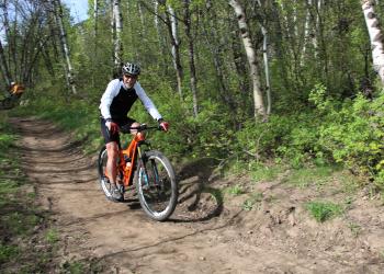
For information on where bicycles are prohibited year-long, seasonal restrictions, and trail timeshare information, please see the alerts page.Miles…
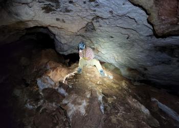
The Custer Gallatin National Forest affords numerous opportunities for caving and climbing. The Custer Gallatin National Forest is known for Ice…
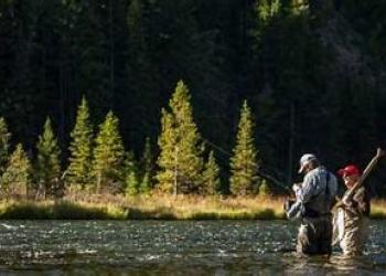
The 3.1-million-acre Custer Gallatin National Forest offers an incredible variety of fishing opportunities. We offer thousands of miles of…
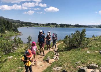
The Custer Gallatin National Forest encompasses thousands of miles of hiking and riding trails.Not every trail is detailed on the website. For…
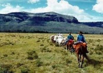
Camping with stock is not allowed in most developed campgrounds. However, some sites provide facilities specifically designed to accommodate…

The 3.1-million-acre Custer Gallatin National Forest offers an incredible variety of fishing opportunities. We offer thousands of miles of…
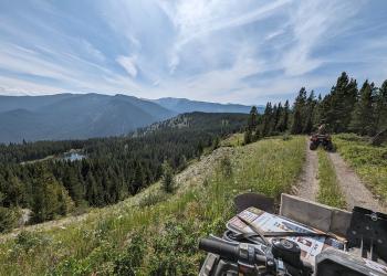
An off-highway vehicle (OHV) is a motor vehicle capable of off-highway travel during winter or summer. OHV’s include all-terrain vehicles…
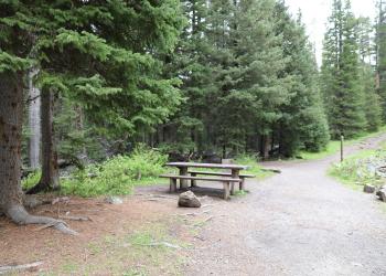
Several picnic areas are maintained for public enjoyment on the Custer Gallatin National Forest. Each offers a variety of recreational activities in…

The USDA Forest Service offers numerous scenic drives and byways across national forests, providing opportunities to experience diverse landscapes…

Winter sports in the United States are popular, both professionally and recreationally. You can do every winter sport imaginable in our national…