

Recreation


This page covers camping and recreation options between Red Lodge Creek, westward to the West Fork of the Stillwater.

The Beartooth Ranger District is located in south central Montana and encompasses the Beartooth and Pryor Mountain Ranges.

The Bozeman district covers the northwestern section of the Custer Gallatin National Forest.

The Gardiner district covers the southeast part of Custer Gallatin National Forest, bordering Yellowstone National Park.

The Hebgen Lake district encompasses the southwest portion of Custer Gallatin National Forest stretching down the west boundary of Yellowstone National Park.

Meyers Creek is located in the northwest corner of the Beartooth Ranger District and borders the Yellowstone Ranger District.
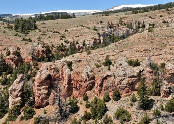
The Pryor Mountains are located 50 miles east of Red Lodge and approximately 50 miles south of Billings.

The Red Lodge area is one of the most heavily visited parts of the Beartooth Ranger District.

The 163,000 acre Sioux Ranger District is located in the southeast corner of Montana and the northwest corner of South Dakota.

The Yellowstone district includes a portion of the Crazy Mountains and covers the northeast section of the Custer Gallatin National Forest south of Big Timber and east