





Visitor Maps and Guides
Get ready for your visit by checking out our detailed maps, brochures, and information guides. Visitor maps and publications are available in-person at forest offices and online at the US Geological Survey Map Store or Discover Your Northwest Online Store.
Maps
Forest Visitor Maps
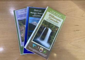
Search for Forest Service Visitor, District, Wilderness or other specialty maps online via the US Geological Survey Map Store. Search for a specific National Forest Visitor map using our online Map Finder.
Mobile Friendly Maps
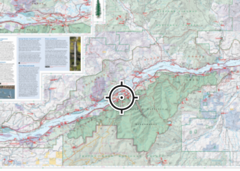
Download available forest & grassland maps to your mobile device via the Avenza app. Available maps include: Forest, Wilderness, District, Winter Recreation, and Motor Vehicle Use Maps.
Free Topographic Maps

These free downloadable geo-enabled quadrangle maps are created by the Forest Service. FSTopo is an automated map product using inter-agency authoritative data and is updated annually.
Motor Vehicle Use Maps (MVUM)
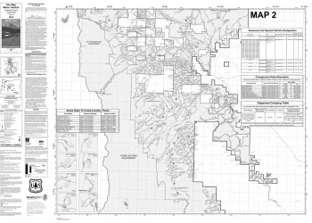
Motor Vehicle Use Maps show national forest system roads & trails open to motorized travel. The map is a black and white map with no topographic features. For additional reference it is best used in conjunction with a Forest Visitor Map or other detailed map. Motor Vehicle Use Maps are free and available at Forest Service Offices or online at the Avenza Map Store.
National Forests and Grasslands App

The National Forests and Grasslands app is currently available for iOS and Android-powered devices. It can be downloaded for free through the App Store and Google Play. Download maps ahead of time, get safety alerts, plan your trip, and find national forest sites near you.