
Motor Vehicle Use Map (MVUM)
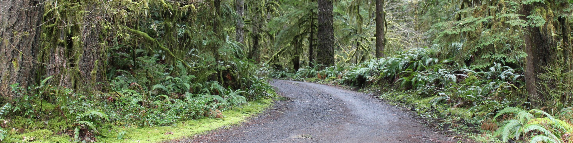
Driving conditions on National Forest roads are much different than those encountered on city streets or state highways. Forest roads range from two-lane paved roads to dirt tracks winding through the brush. Most National Forest roads are single-lane, gravel, low-speed roads.
Some roads are closed to protect wildlife or because they are not safe for travel. You can find out about road closures by using the Motor Vehicle Use Maps and by calling the local ranger station.
The Willamette National Forest Motor Vehicle Use Map (MVUM) displays roads and trails that are open to motorized travel on the Willamette National Forest. Routes open for motorized use may not always be signed on the ground. It is the user’s responsibility to use the MVUM to determine whether a route is open for motor vehicle use. If a Forest Service road or trail is not on this map, public motor vehicle use is prohibited. MVUMs are updated regularly to correct mapping errors or discrepancies, and to update travel decisions.
In addition to identifying roads and trails open for motorized use, the MVUM includes additional information that is important to motorized vehicle users.
The map identifies:
- Uses allowed by vehicle class (highway-legal vehicles and off-highway vehicles),
- Dispersed camping corridors, where special regulations regarding motorized vehicle use are in place,
- Seasonal road or trail use restrictions, and
- General travel rules and regulations.
The MVUM is a black and white map with no topographic features. It is best used in conjunction with a Forest Visitor Use Map, Ranger District Map, or other topographic map. The MVUM is free to the public and hardcopies are available at Willamette National Forest offices.
Willamette National Forest MVUM Maps
Willamette National Forest MVUM maps are available from the links below. The maps are geospatially enabled PDF (geoPDF) maps. When you open a geoPDF, you can find locations, measure distances, and add location markers. You can also copy coordinates to the clipboard for use with a web mapping service. To use a geoPDF on your computer you must have Adobe Acrobat Reader DC downloaded. Once the map is open in Acrobat Reader DC you can view the geospatial measuring tools by choosing Tools > Measure.
You can also load these maps on to any GPS-enabled mobile device using an app such as Avenza Maps (but we recommend carrying a paper map as backup).
Please note that these maps are large PDFs designed to be printed at 44"x34".
District Motor Vehicle Use Maps (PDF Download)
- Detroit Ranger District - 2025
- Sweet Home Ranger District - 2025
- McKenzie River Ranger District - North - 2025
- McKenzie River Ranger District - South - 2025
- Middle Fork Ranger District - North (front and back) - 2025
- Middle Fork Ranger District - South (front and back) - 2025
District Motor Vehicle Use Maps (Avenza Maps)
Frequently Asked Questions
Willamette National Forest MVUMs are not formatted for regular printers; they are 44”x 34” when printed at 100% scale. Depending on your home software, it may be possible to only print an area of the map you’re interested in. Hardcopies are available at Willamette National Forest offices.
While most roads and trails on older MVUMs do not change, you should download, print off or pick up a copy of the latest MVUMs to ensure you have the most up-to-date version of the map and don’t inadvertently use a road or trail that is no longer open for motorized use.
No. MVUMs only show trails and roads open to motorized use. A Forest Visitor Map shows non-motorized routes, including mountain bike trails, hiking, and horse trails. Visitor Maps are available for purchase at Forest Service offices.
Vehicle class refers to certain categories of motorized vehicles. The following are typical vehicle class route designations:
Roads open to highway-legal vehicles only (licensed).
Roads and trails open to all motor vehicles, including unlicensed non-highway-legal vehicles such as quads, dirt bikes, sand rails, E-bikes, etc.
It is important to understand that routes open to certain vehicle classes does not mean they are necessarily maintained for or are suitable for travel using those vehicles. It simply means it is legal to use them. For example, many roads may be open to all motor vehicles. This designation includes passenger cars, although it may not be prudent to drive this type of vehicle on the route due to the condition of the surface or during inclement weather. Please check with the local Ranger District Offices for more information.
Electric bikes (E-bikes) are classified as self-propelled motor vehicles and are only allowed on roads or trails open to motorized vehicles. E-bikes are not allowed on trails designated for non-motorized use such as mountain bike or hiking trails.
Dispersed camping (camping outside developed campgrounds) with motor vehicles may occur only in those areas indicated on the MVUM. In such designated areas, motor vehicles may travel up to 300 feet off of the road to access and use established dispersed campsites.
Routes designated for motorized use may not always be signed. In some cases, a route marker may exist at the entrance of the road or trail with symbols indicating which classes of vehicles are allowed. Routes designated for motorized uses will be identified on the MVUM. The MVUM is an enforcement tool to ensure individuals are on the correct route. It is the responsibility of the user to determine if they are on a route designated for the motor vehicle being used.