
Recreation

Trails webpages and information will not be available until May 2025. Thank you for your patience while we work through getting the most updated, accurate information for you during this time.

Our recreation opportunities are organized by corridor. To browse recreation areas by location, click on the corridor name below. Learn more about each corridor on the Travel Planner page. Want to know what roads are subject to seasonal closures, and when? Check out this guide

Outfitter and Guide Information
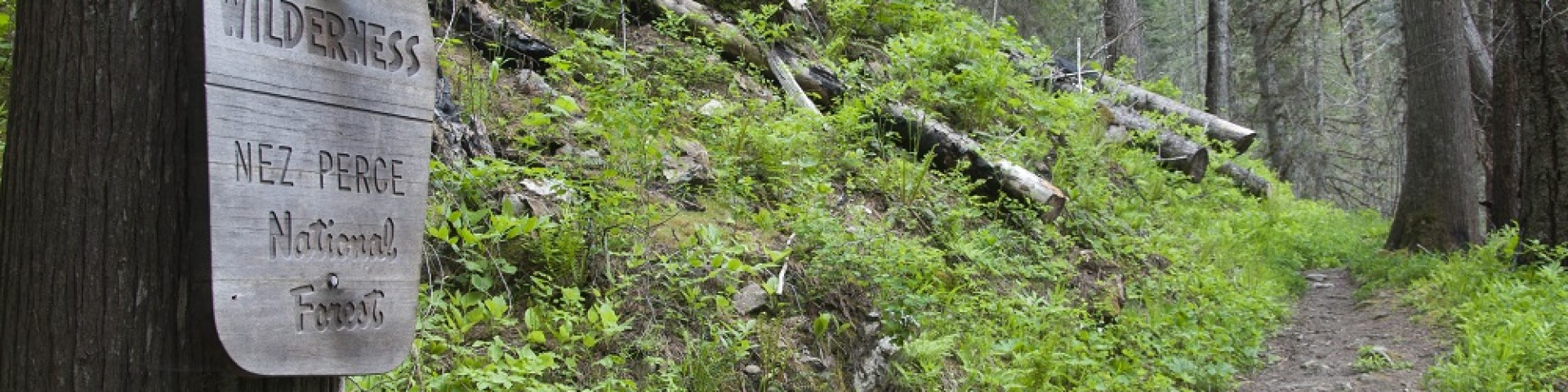
pack bridge spans river in steeply wooded area

Showing: 51 - 60 of 157 results

Gospel Hump Wilderness/Square Mtn LO/Moore's GS

Outdoor Science and Learning
In 1978, Congress recognized 206,053 acres of undeveloped federal land east of Riggins and north of the main Salmon River as a special area and designated it the Gospel-Hump Wilderness. Since then,…

Gospel-Hump Wilderness

Hiking
In 1978, Congress recognized 206,053 acres of undeveloped federal land as a special area and designated it the Gospel-Hump Wilderness. It is a land of contrasts: its northern section is moist and…

Granite Springs Campground

Site Open
Granite Springs campground has four campsites with metal fire rings, but no tables. It is an excellent area to stop and spend the night as you’re traveling the Magruder Corridor. OHV riding is…

Halfway House Campground

Site Open
Hunting, Fishing and Shooting
Halfway House Campground rests in tall timber with a small creek running through. There are campsites with tables and fire rings. Stock facilities (feed bunk and loading ramp) are nearby. This is a…

Heavens Gate Overlook

Scenic Drives
This overlook is thought by many to be the best view into Hells Canyon from Idaho. It is the highest viewpoint on the Idaho side at an elevation of 8429 feet. From this point, in addition to Hells…

Hells Canyon Corridor

Scenic Drives
 [Larger version of map]Once called the “Grand Canyon of the Snake River,” the Hells Canyon corridor is known for its magnificent but extremely rugged landscape. It is the deepest gorge in North…

Hells Canyon Wilderness

Hells Canyon Wilderness is a part of the Hells Canyon National Recreation Area (HCNRA) that straddles the border of northeastern Oregon and western Idaho, split in half by the Wild and Scenic Snake…

Hidden Creek Campground

Site Closed
Picnicking Hunting, Fishing and Shooting Hiking
Tucked away in groves of old growth cedar trees and adjacent to the stunning North Fork of the Clearwater River in northwest Idaho, rests a hidden gem: Hidden Creek Campground.  With 13 sites, one…

Highway 14 Corridor

Hiking Off Highway Vehicles (OHV) Horse Riding and Camping Hunting, Fishing and Shooting Picnicking Water Activities Outdoor Science and Learning
[Large version of map]American Indians traveled through the present-day South Fork of the Clearwater River corridor on their seasonal migration from the Camas Prairie in Idaho to the Bitterroot…

Horse Camp Trailhead

Site Open
Off Highway Vehicles (OHV)
The Horse Camp Trailhead serves as the north end of the popular Sand Mountain OHV Trail system.  The actual trail begins on the north side of the 381 road while the trailhead is on the southern…