
Recreation
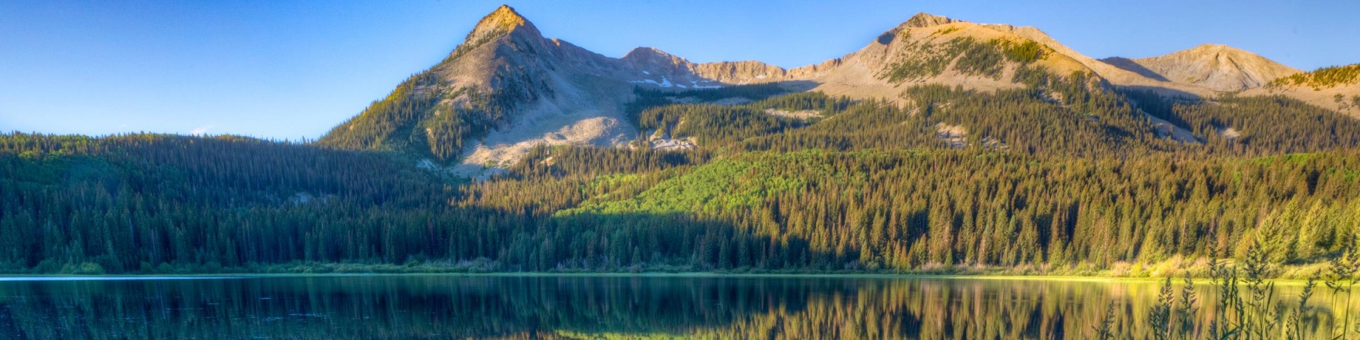
Grand Mesa, Uncompahgre and Gunnison National Forests offer scenery and an abundance of opportunities for outdoor recreation. Over 3,500 miles of trails and routes provide access to areas of rugged beauty and solitude. Many were carved by indigenous peoples, early explorers, and miners, and offer an experience that connects users to the land and to the past. The mountains, plateau, and mesa that make up the forest will always provide a scenic backdrop and thus a component of the quality of life in the area.
We invite you to visit our forest and enjoy the beauty, history and challenges it has to offer. Recreation, motor vehicle and quad maps are available. View a Ranger District location map.

Atkinson #624
The Atkinson Trail #624 serves as a connecting route between the Atkinson Bench Trail #622 and the Spring Creek Trail #616. The Atkinson Trail descends off of a bench near the head of one of the…
Atkinson Bench #623
The Atkinson Bench Trail #623 is actually what used to be designated as the Campbell Trail, and part of the southernmost portion of the Long Canyon Trail #621. The southern trailhead is located…
Bad Land #635
The Bad Lands Trail #635 is a two-track road which travels west to east through pinyon-juniper on a bench above the Keith Creek and Little Dominguez Creek drainages. The trail forks left…
Bald Mountain Tie-In #882
The Bald Mountain Tie-in Trail #882 begins about 0.25 miles before Bald Mountain Reservoir and ends at an intersection with the Piburn Trail #880. This trail follows FSR #713 and then borders Bald…
Baldy #216
The Baldy Trail #216 begins at the end of Forest Service road #872.1B and ends at its intersection with the Cutler Creek Trail #217 and the Dexter Creek Trail #205. There are several trails that…
Baldy Lake #491
The Baldy Lake Trail #491 begins at Long Branch Road, FSR #780, and ends at the Summit Trail #486 at the Gunnison District boundary. This trail follows the ridge between the West Fork and Hicks…
Baldy Peak #216.1A
The Baldy Peak Trail #216.1A begins at its intersection with the Baldy Trail #216 and ends at Baldy Peak. The trail branches off the Baldy Trail at approximately 1.7 miles and climbs the top of Baldy…
Baron Lake #751
The Baron Lake Trail #751 begins on the north side of the road just past the outlet for Alexander Lake across from the Ward Lake Trail. It travels from Ward Lake along the south shore of Alexander…
Basin #603
The Basin Trail #603 is a two-track for the entire distance and runs in a general east-west direction through a mixture of spruce/fir and aspen stands, and is a connecting route between the Big…
Basin View #618
Forest Trail #618 (Basin View Trail) is 0.8 miles long. It begins at Forest Trail #531 and ends at Forest Road #237. Forest Trail #618 is open for the following uses: hiking, horseback riding. This…