
Recreation
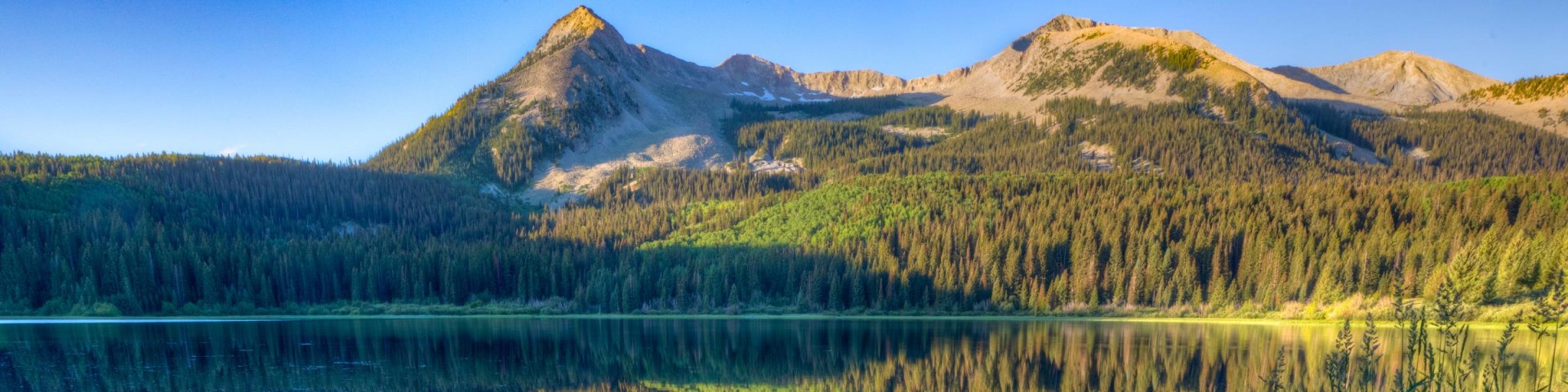
Grand Mesa, Uncompahgre and Gunnison National Forests offer scenery and an abundance of opportunities for outdoor recreation. Over 3,500 miles of trails and routes provide access to areas of rugged beauty and solitude. Many were carved by indigenous peoples, early explorers, and miners, and offer an experience that connects users to the land and to the past. The mountains, plateau, and mesa that make up the forest will always provide a scenic backdrop and thus a component of the quality of life in the area.
We invite you to visit our forest and enjoy the beauty, history and challenges it has to offer. Recreation, motor vehicle and quad maps are available. View a Ranger District location map.

Spring Creek Spur A #116.1A
The Spring Creek Spur A Trail #116.1A begins at Forest Service Road #536, Spring Creek Road, and ends at an intersection with the Spring Creek Trail #116. This spur trail cuts across the mesa above…
Spring Creek Spur B #116.1B
The Spring Creek Spur B Trail #116.1B begins on Forest Service Road #524, Beaver Dams Road, and ends at Forest Service Road #402.9A, Spring Creek Trailhead Road. This spur trail connects the Dry…
Spring Creek/Rocky Brook Snow Trail
The Spring Creek/Rocky Brook Snow Trail #744 is 19.8 miles long. It begins at Forest Road #744 at the forest boundary and ends at Forest Road #742. The snow trail is open for the following uses: XC…
Spruce #221.1A
Forest Trail #221.1A (Spruce Trail) is 1.2 miles long. It begins at Forest Trail #221 (Nate Trail) and ends at Forest Road #858 (Owl Creek - Cimarron Road). Forest Trail #221.1A is open for hiking &…
Spruce Campground - Gunnison RD
Site Open
Spruce Campground, located on Cebolla Creek, lies between the Powderhorn and La Garita Wilderness areas. This area is popular with hikers, backpackers and anglers. Several miles of trail exist in…
Spruce Grove Campground - Grand Valley RD
Site Open
Spruce Grove Campground elevation is 9,900 ft. There are 16 campsites. The campground is a large loop in a thick grove of spruce trees. Most sites are pull-through that can accommodate large RVs. Max…
Spud Pass #824
Spud Pass Trail #824 begins at an intersection about a mile up the Raggeds Trail #820 from the Raggeds Trailhead and ends at Deep Creek Lake. The first mile is outside the Raggeds Wilderness, where…
Star #411
The Star Trail #411 begins at the Star Trail Trailhead on Rocky Brook Road, FSR #748 and ends at Italian Creek Road, FSR #759. For the first couple of miles the trail climbs northeast out of the…
Star Lily Connector #623
The Star Lily Connector Trail #623 begins at an intersection with the Lily Pond Trail #534 and ends at an intersection with the Star Trail #411. As its name suggests, it connects these two trails.…
Stealey Mountain North #219
The Stealey Mountain North Trail #219 begins on Forest Service Road #858 and ends at its intersection with the Courthouse Trail #218. The first 3.1 miles of the trail starting at the Cow Creek…