
Recreation
From the prairies of western Kansas to some of the highest mountain peaks along the Continental Divide in Colorado, the Pike-San Isabel National Forests & Cimarron and Comanche National Grasslands is home to a variety of ecosystems rich in history, geology, scenery, wildlife habitat and more.
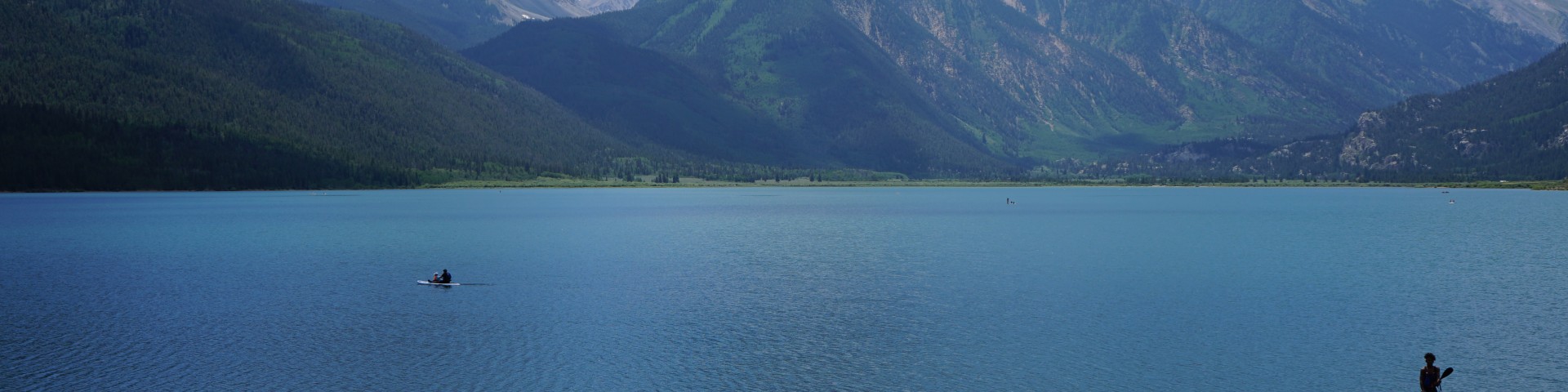
Explore what the landscape offers with recreation opportunities from casual strolls along a shimmering lake to thrilling downhill ski adventures. Discover history as you trek alongside dinosaur tracks from 150 million years ago. Take in the beauty of our many 14,000-foot peaks (also known as "fourteeners" or "14ers"). We have something for everyone!
With around 3 million acres across the Pike-San Isabel National Forests & Cimarron and Comanche National Grasslands, we have an abundance of recreation options! Know what you want to do but unsure where to go? Start here.

Welcome to the Cimarron National Grassland, 1 of 20 National Grasslands administered by the U.S. Department of Agriculture Forest Service.
The Comanche National Grassland is located in Baca, Las Animas and Otero counties southeastern Colorado and mnages about 443,784 acres.
The Leadville Ranger District is home to the Sawatch Range, the highest mountain range in Colorado.

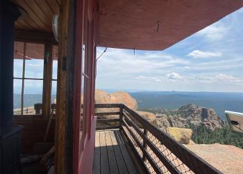
The Pikes Peak Ranger District manages roughly 230,000 acres of the Pike-San Isabel National Forests & Cimarron and Comanche National Grasslands to ensur
The San Carlos Ranger District manages the southern half of the San Isabel National Forest.

South Park Ranger District includes South Park, part of the Mosquito Range, Eleven Mile Canyon and Jefferson Lake Recreation Areas, and the Tarryall Mountains and Puma
The South Platte Ranger District is located east of the Continental Divide in the central Rocky Mountains and lies adjacent to the Denver metro area in Park, Jefferson