
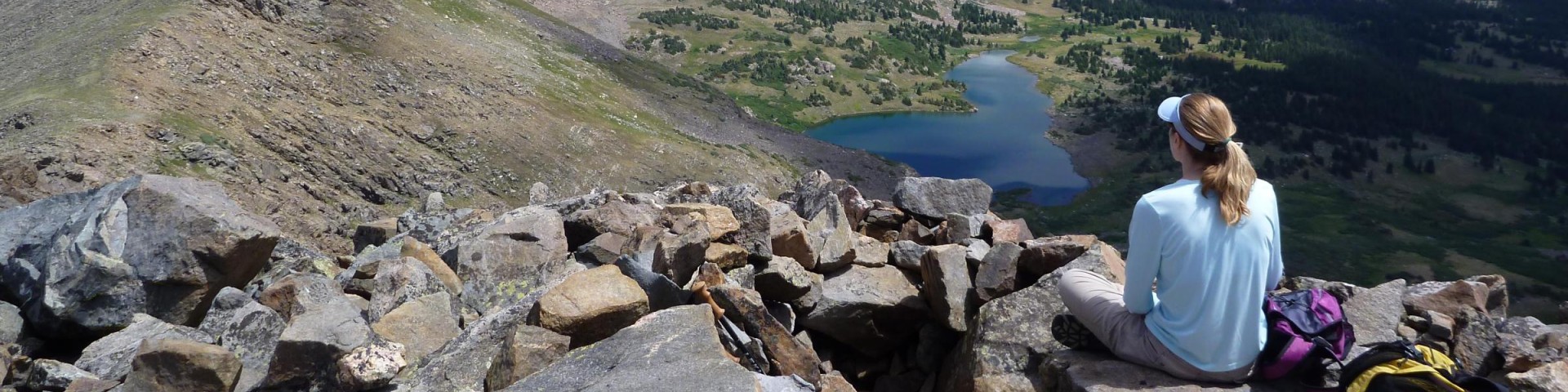
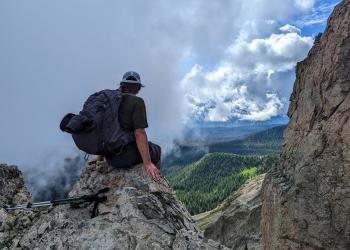
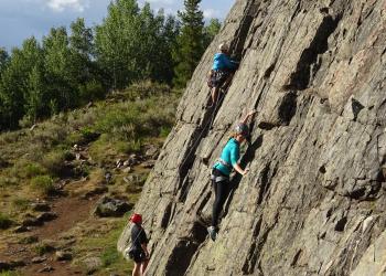
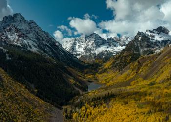
Recreation


The Aspen-Sopris Ranger District manages lands in the Roaring Fork River drainage from Carbondale to the summit of Independence Pass
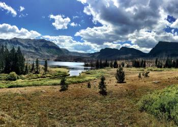
The Blanco Ranger District manages the majority of the Flat Tops Wilderness and White River drainage east of Meeker

The Dillon Ranger District manages lands from the Blue River drainage to the summit of Vail Pass

The Eagle - Holy Cross Ranger District manages lands from the summit of Vail Pass, through Glenwood Canyon
The Rifle Ranger District manages the west end of Glenwood Canyon, north and south of the Colorado River
Brown's Loop TH #1874
The Brown's Loop trail begins at Yeoman Park Campground B-loop and ends at Yeoman Park Day Use Area. This is an easy trail near East Brush Creek that has a fishing pier and interpretive signs along…
Brush Creek Road TH #1695
The first mile of the Brush Creek Road is steep and leads through sagebrush offering an excellent view of Green Mountain Reservoir and the Lower Blue River Valley. This road offers solitude as well…
Brush Creek TH #68
The trail starts in the Aspen trees on a hillside full of sagebrush that overlooks the Blue River Valley. This trail is used to access the Gore Range Trail and Lost Lake Trail in the Eagles Nest…
Buck Creek #2106
The Buck Creek Trail is 3.5 miles long. It begins at Morning Star Drive and ends at Forest Road 734. This trail climbs steadily up along Buck Creek, past the old site of the Avon Ranger Station, and…
Buckskin Pass Trailhead #1975
ALERTS:• Bear canisters are required for all backpackers in the Maroon Bells-Snowmass Wilderness.• Advance reservation permits are required for overnight stays in the Maroon Bells - Snowmass…
Buffalo Cabin/Buffalo Mountain TH #31
This trail offers options: a shorter hike to log cabin ruins or a longer trip to the top of Buffalo Mountain at 12,274 ft. The trail winds through a lodgepole pine forest and eventually leads to…
Buffehr Creek TH #787
The Buffehr Creek Trail is 3.5 miles long. It begins and/or ends at Forest Road 734 and Buffehr Creek Road. For hiking, this trail starts in the town of Vail and joins the North Vail Trail #1896.…
Buford-New Castle Parallel OHV #2290
The Buford-New Castle Parallel OHV Trail begins at the West Elk Trailhead and ends at Forest Road 601 north of Meadow Lake. The trail is 14.5 miles long and is open to motorized vehicles less than…
Buford-New Castle Road (Forest Road-245)
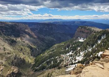
The Buford-New Castle Road is the main thoroughfare across the Flat Tops, spanning a total length of approximately 42 miles. The route provides access to numerous side roads, dispersed camping areas,…
Burnt Ridge Road #651.1
Burnt Ridge Road is 7.6 miles. It is opne to vehicles with high clearance, ohv, motorcycle, horse, bicycle and foot traffic.Tthe Connects to #603 and #640.