
Huachuca Mountains

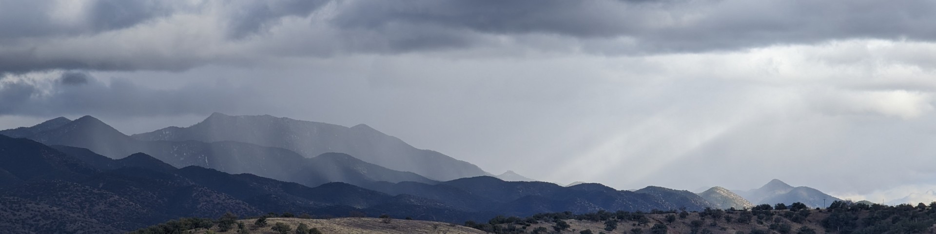
The Huachuca Mountains are the third highest of the sky island mountain ranges in southeastern Arizona and they rise almost 4,500 feet above the desert floor. The mountain range is oriented in a northwestern direction giving it more north-facing slopes and perhaps a somewhat cooler climate than some of the other sky island mountain ranges with similar elevation. The highest elevations support mixed conifer forests on north-facing slopes and pine forests on south-facing slopes. Lower elevations have extensive oak and oak-pine woodlands. Management of this mountain range is divided mostly between the U.S. Forest Service and the Department of Defense (Fort Huachuca). Fort Huachuca occupies roughly the northeastern quarter of the range; the Forest Service manages the northwestern quarter and southern half. A small part of the southern end of the range is managed by the National Park Service as Coronado National Memorial.

Special Places:

East Side Canyons: Spring-fed streams, northeast orientation, and high canyon walls provide the canyons on the east side of the Huachuca Mountains with a moist cool environment unusual in the desert southwest. Water-loving trees like sycamores and maples grow along the streams often within a few feet of cacti, yucca, and agaves. The principal canyons accessible to visitors are Huachuca Canyon and Garden Canyon on Fort Huachuca; Ramsey Canyon, which is a private preserve managed by The Nature Conservancy; and Carr Canyon in the Coronado National Forest.

Miller Peak Wilderness: This wilderness of 20,190 acres occupies much of the high country at the southern end of the mountain range. It has an extensive trail system.

Coronado National Memorial: Francisco Vásquez de Coronado led the first major European expedition into the American Southwest in 1540 in search of the mythical Seven Cities of Cíbola. This park on the Mexican border was established to honor that quest. The park occupies the lower elevations at the southern end of the mountain range. It has excellent grasslands and evergreen oak woodlands.

General Information

Carr Canyon Recreation Opportunity Guide
English
Spanish

Recreation Sites

Showing: 31 - 40 of 41 results

Perimeter #138

Horse Riding and Camping Outdoor Science and Learning Hiking Biking
The Perimeter Trail #138 is located in the Huachuca Mountains in the Sierra Vista Ranger District. This 3.75-mile, one-way trail affords opportunities in the area for hikers, runners, mountain…

Perimeter #138B

Biking Hiking Horse Riding and Camping Outdoor Science and Learning
The Perimeter Trail #138B is located in the Huachuca Mountains in the Sierra Vista Ranger District. This 2.2-mile, one-way trail affords opportunities in the area for hikers, runners, mountain…

Peterson Peak #119

Hiking Biking
Beginning at the Lyle Canyon #120 Trailhead hikers walk up Scotia Canyon decommissioned road to the official trailhead for 1.2 miles. The Peterperson Peak #119 1.4 mile one-way trail connects to the…

Pomona Mine #116

Hiking
Brown Canyon Trail leads into a scenic little canyon with good views and high desert vegetation. A spur trail, the Pomona Mine Trail, leads to the site of an old tungsten mine while the Brown Canyon…

Ramsey Vista Campground

Site Open
Horse Riding and Camping
 Campsites here are spread through a stand of medium-sized ponderosa pines at the end of a road that once brought miners and equipment to the historic Reef mine and townsite. This campground is…

Reef Townsite Campground

Site Open
 This high mountain campground, once the mining town of Reef, offers 16 campsites, as well as a reservable group site. That remote outpost got its name from the nearby Carr Reef, a tall band of…

Scotia Canyon Trail #127

Hiking Horse Riding and Camping Biking
This canyon was named for two brothers from Nova Scotia who once owned a ranch here. Since the head of Scotia Canyon is one of the lowest places in the Huachuca Range, it has served as a traditional…

Sunnyside Canyon Trail #117

Hiking
The Sunnyside Canyon Trail is a pleasant trail in a shady canyon that then climbs steeply all the way to the Crest Trail #103.  It is part of the Arizona National Scenic Trail.At the turn of the…

Last updated July 31st, 2025