





Site Open
Cone Lake Trailhead
Current Conditions
The area is not currently maintained, use at your discretion. Much of the Caribou Wilderness was burned during the Dixie Fire and burned area hazards exist.
This trailhead accesses the northern boundary of the Caribou Wilderness.
General Information
- Vehicles, bicycles, and mechanized equipment prohibited
- Check for fire restrictions before your trip. California Campfire Permit required for campfires and cook stoves.
- Pack out your trash
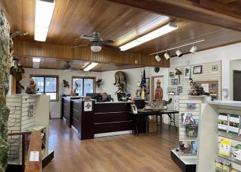
Address: 900 E. Hwy 36 Chester, CA 96020
Phone: (530) 258-2141
Hours: Monday-Friday: 8:00 a.m. to 4:30 p.m. (Closed on federal holidays)
Getting There
Latitude / Longitude
Latitude: 40.551387
Longitude: -121.203313
Elevation
6,800'
Directions
Trailhead is at the end of Forest Service Road 32N09A, accessed from 32N09 and 32N10 or 32N60 from Hwy 44.
Travel Considerations
Forest Service Roads 32N09A, 32N09, 32N10 and 32N60 are all gravel roads.
Facility and Amenity Information
Restrooms
Restrooms are not available at this site.
