
Recreation

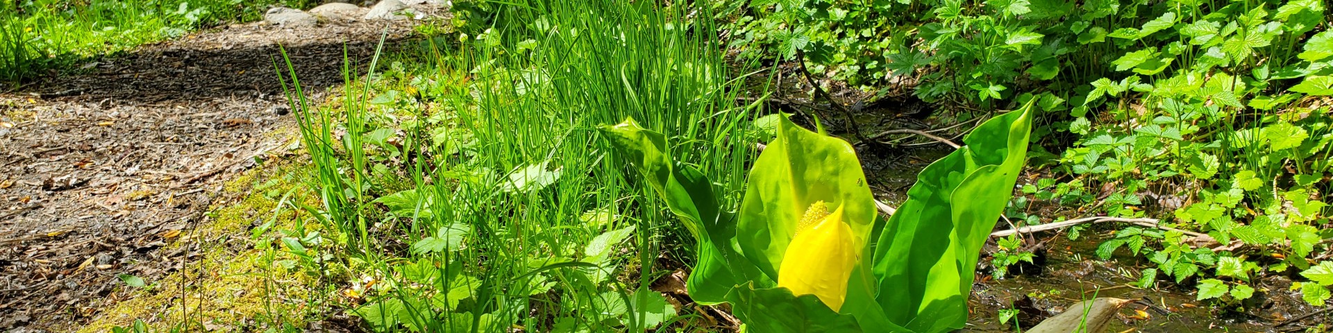
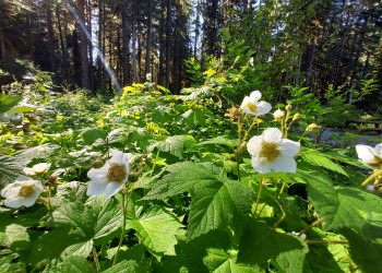
There is something for everyone on the Mt. Baker-Snoqualmie National Forest National Forest! Find your next adventure by visiting one of our four Ranger Districts and exploring what your public lands have to offer.

We recommend checking the specific recreation site pages below for the authoritative information on pass and fee requirements, closures, and other rules.

Road and Trail Conditions

Forest Road and Trail Conditions Interactive Map

You may also visit one of our partners' pages for more information on conditions and what to expect: 

  • Washington Trails Association hiking guides and trip reports have information on most non-motorized trails across the Forest.
  • Along the 1-90 corridor in the Snoqualmie Ranger District, the Mountains to Sound Greenway maintains information on exploring the region.

*The Forest Service does not monitor or validate the information on partner websites, so please use caution and prepare for all possible conditions.

Showing: 21 - 30 of 450 results

Bald Eagle Mountain Trail 650

Hiking Horse Riding and Camping
Enjoy incredible views, fields of wildflowers and glimpses of Pride Basin and Monte Cristo peaks on this 22.5-mile loop that includes the 9.7 Bald Eagle Mountain Trail. Travel along the boundary…

Bald Eagle Trailhead

Site Open
Hiking Horse Riding and Camping
Provides access to: Bald Eagle (Curry Gap) Trail 650, Bald Eagle Mountain Trail 650.These trails provide access to Henry M. Jackson Wilderness and Glacier Peak Wilderness.

Barclay Creek Trail 1055

Hiking
Hike through old growth trees, deer ferns, trillium, wood violets, bleeding hearts and salmon berries in season as you follow Barclay Creek to Barclay Lake at 2,422 feet elevation. Cedar boardwalks…

Barclay Lake Trailhead

Site Open
Hiking
Provides access to: Barclay Creek Trail 1055 which provides access to Wild Sky Wilderness via spur trails 1055.1 and 1055.2.

Barclay Lake Winter Sports Area

Site Closed
Winter Sports
This route is suitable for intermediate skiers and snowshoers. Wind around the western edge of Baring Mountain Route following Forest Service road 6024 amidst clear cuts and second-growth forest.…

Bare Mountain Trail 1037

Hiking
Follow an old roadbed for approximately one mile, crossing Bear Creek twice before entering the Alpine Lakes Wilderness. The first crossing may be hazardous during spring snow melt. Leaving the…

Bare Mountain Trailhead

Site Open
Hiking
Provides access to: Bare Mountain Trail 1037 and Lennox Creek Trail 1001 which access Alpine Lakes Wilderness.

Barlow Pass Trailhead

Site Open
Hiking
Provides access to: Barlow Point Trail 709, Old Government Trail 733, Old Monte Cristo Townsite Trail.This is also an access point for Poodle Dog Pass-Silver Lake-Twin Lakes Trail 708 and Glacier…

Barlow Point Trail 709

Hiking Outdoor Science and Learning
Begin at the former site of the Barlow Pass Guard Station and at 0.3 miles encounter a junction. The left branch leads to the Old Government Trail 733. The Barlow Point Trail begins its ascent…

Bayview Campground

Site Open
Bayview Campground and Bayview North Group Site (approximately 1/4 mile north from the campground) are located along the Baker Lake Road approximately 14.8 miles from State Route 20.Bayview…