
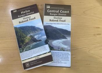
Visitor Maps and Guides
Forest Visitor Maps
Search for Forest Service Visitor, District, Wilderness or other specialty maps online via the US Geological Survey Map Store. Search for a specific National Forest Visitor map using our online Map Finder.
Mobile Friendly Maps
Download available forest & grassland maps to your mobile device via the Avenza app. Available maps include: Forest, Wilderness, District, Winter Recreation, and Motor Vehicle Use Maps.
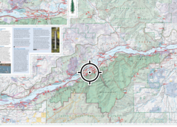
Free Topography Maps

These free downloadable geo-enabled quadrangle maps are created by the Forest Service. FSTopo is an automated map product using inter-agency authoritative data and is updated annually.
Motor Vehicle Use Maps (MVUM)
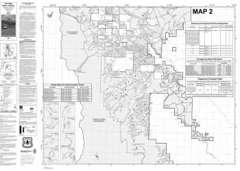
Motor Vehicle Use Maps show national forest system roads & trails open to motorized travel. The map is a black and white map with no topographic features. For additional reference it is best used in conjunction with a Forest Visitor Map or other detailed map. Motor Vehicle Use Maps are free and available at Forest Service Offices or online at the Avenza Map Store.