





Devils Flat Trail
Historic buildings still present at Devils Flat Guard Station include a log cabin built in 1915 and a 1920's barn. Once the "end of the road," horses and mules used the trail to deliver food and supplies to Red Mountain Lookout. Today, the trail crosses three roads and old harvest units on its way to the top of Red Mountain. Trail elevation ranges from about 4,650' at the highest point to 2,150' at the lowest. The old lookout was moved to the Tiller Ranger Station and restored in 1985. The view from the top is still terrific.
Specific Trail Information
Trail Number
Trail Type
General Information
From mid-to-late Fall and early-to-mid Spring expect that the higher elevation parts of this trail will have snow cover.
Not available. Surface water should be treated.
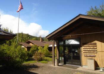
Address: 27812 Tiller Trail Highway Tiller, OR 97484
Phone: 541-825-3100
Hours: Thursday and Friday, 8:00 a.m. - 4:30 p.m. (Closed on federal holidays)
Getting There
Directions
From Azalea, OR, travel east on County Road 36 for about 17 miles to Devils Flat Campground. Devil’s Flat Trail #1428 can be accessed from the right side of the road, near the Guard Station.


