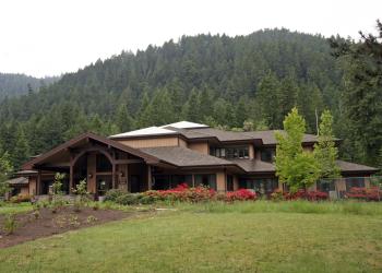
Hardesty Trailhead - Lower
This trailhead provides access for:
- Hardesty Trail
- South Willamette Trail
General Information
- Fee - $5 per vehicle per day
All recreation passes will be accepted, including Northwest Forest Passes and Interagency Passes (Annual, senior, access and military)
Within developed recreation sites, dogs must be on a leash no longer than 6 feet, or otherwise under physical restrictive control. 36 CFR 261.16(j)
Address: 46375 Highway 58 West Fir, OR 97492
Phone: (541) 782-2283
Hours: Monday-Friday, 8:00 a.m. - 4:30 p.m. (Closed on federal holidays)
Office Email: sm.fs.mfrd@usda.gov
Getting There
Directions
Travel east on Highway 58 about 7.7 miles from the Lowell, Oregon junction to the Hardesty Trailhead - Lower. The trailhead is on the right side (south) of the highway (Highway 58 Milepost 20.7). Or - travel approximately 14.8 miles west from Oakridge, Oregon.
The trail can be accessed at the 2-mile point by following Forest Road 5835 (Crale Creek Road) for 4.5 miles. The Crale Creek Road is 0.8 mile east of the Hardesty Trailhead.
Facility and Amenity Information
Accessibility
Restrooms
Restrooms are not available at this site.
Water
Potable water is not available at this site.
Picnic Tables
Picnic tables are available at this site.
Horse/Pack Animal Information
Horse/Pack animals are allowed at this site.


