





Cloverpatch Trail #3457
The trail begins in a stand of young trees, passes a small waterfall and climbs over a portion of the Cloverpatch Bluffs, with fine views of the Middle Fork Willamette River.
Leaving the bluffs, the trail route travels through stands of tall trees and thick second growth. Near the top of the ridge, a side trail to a rocky point offers a view over a sea of treetops. The trail continues along the ridge to Forest Road 5824-124.
There are several steep, rocky places along the trail and poison oak in the open, rocky areas.
Specific Trail Information
Trail Number
General Information
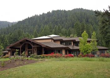
Address: 46375 Highway 58 West Fir, OR 97492
Phone: (541) 782-2283
Hours: Monday-Friday, 10:00 a.m. - 4:30 p.m. (Closed on federal holidays)
Office Email: sm.fs.mfrd@usda.gov
Getting There
Trailhead/Starting Points
Directions
From Oakridge, OR, travel 4 miles west, turn right onto Westfir Road (Highway 58 Milepost 31.5). Turn left after crossing the green bridge over the Middle Fork Willamette River and proceed for approximately 1 mile.
Turn left at the community of Hemlock, OR (Winfrey Road), turn left after crossing the bridge and proceed 4.5 miles to Forest Road 5826.
Proceed 4 miles to the trailhead, which is located on the left side of the road. Parking space is limited. The upper trailhead is reached by traveling on the North Shore Road to Forest Road 5824, traveling 4.5 miles to the junction of Forest Roads 5824 and 5824-124. Turn on to Forest Road 5824-124 and travel 2 miles to the trailhead.

