
Recreation

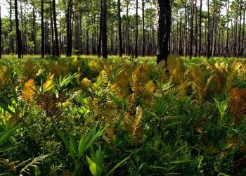
Uwharrie National Forest is a hidden gem in central North Carolina, known for its rolling hills, scenic trails, and rich history.
Nantahala National Forest is composed of 3 different ranger districts:
-Nantahala Ranger District
-Tusquitee Ranger District
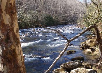
Pisgah National Forest is composed of 3 different ranger districts:
-Pisgah Ranger District
-Appalachian Ranger District
Art Loeb Trailhead, Camp Daniel Boone
Site Open
Camp Daniel Boone is located near Cold Mountain and the highest peaks in the Black Balsam area. Many folks use this trail for extended backpacking trips (at least 2-3 days), connector trails to form…
Art Loeb Trailhead, Davidson River
Site Open
.
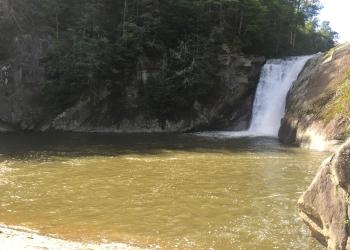
Avery Creek Valley Composite #C09
Site Open
7.7 miles — ModerateFeatures: Streams, waterfalls, uphill climbs0.0 milesFrom FS477 parking lot, start on Buckhorn Gap Trail (#103)(orange blaze)1.4 milesTurn left onto Twin Falls Trail (#604)…
Avey Branch Boat Launch
Site Open
Boat ramp and canoe launch on Santeetlah Reservoir maintained in coordination with North Carolina Wildlife Resources Commission
Badin Horse Camp or Old Horse Camp
Site Open
This is a primitive camping area where people camp in self contained RV/Horse Trailers. It is located in an open field with tie outs for the horses. No amenities available.Campers must take their…
Badin Lake Campground
Site Open
Bordering the lakeshore and under the shade of pines and hardwoods, Badin Lake Campground offers a year-round retreat for swimmers, boaters, and anglers. The campground has 35 non-electric sites for…
Badin Lake Group Camp
Site Open
Badin Group Camp was developed for use by clubs, families and other groups up to 50 people. The camp includes three separate areas each with tables, grills and tent pads. Two vault toilet…
Badin Lake Recreation Area
Site Open
Badin Lake Recreation Area offers swimming, boating, fishing, hunting, hiking trails, equestrian trails, four-wheel drive trails, mountain biking trails & camping opportunities. Please pick up your…
Bald Knob Ridge TR 186
Site Temporarily Closed
From NFSR 472 the trail ascends switchbacks to the ridge. It offers good views of the Black Mountains and passes through stands of red spruce and Fraser fir trees. Several primitive campsites are in…
Bald Springs #78
Site Open
.