
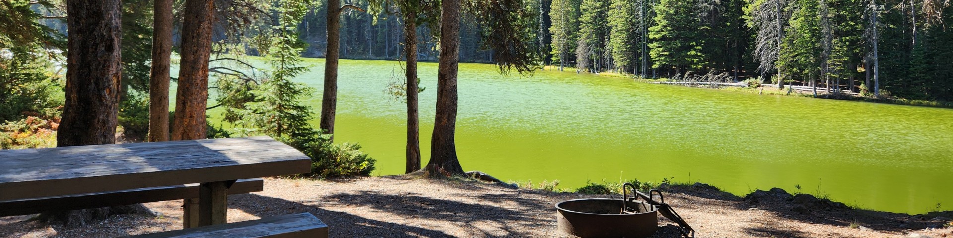
Recreation
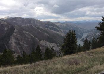
The Big Belt Mountains are an island range primarily in Broadwater, Lewis and Clark, and Meagher counties with small portions in Gallatin and Cascade counties.
The Castle Mountains are located east of White Sulphur Springs, Montana. The highest peak is Elk Peak reaching a height of 8,589 feet.

This geographic area is the scenic backdrop and primary recreational resource for Montana’s capital city, Helena.

The Elkhorns Geographic Area encompasses the Elkhorn Mountains in Broadwater and Jefferson counties and includes the small mining town of Elkhorn.

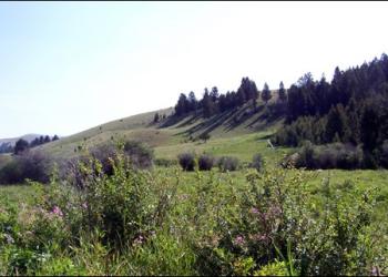
The Highwoods Geographic Area is the smallest of the geographic areas within the plan area and encompasses the Highwood Mountains.

Portions of this sprawling mountain range are located in Meagher, Judith Basin, Cascade, and Wheatland counties.

The Rocky Mountain Range is located in portions of Teton, Pondera, Glacier, and Lewis and Clark counties. The geographic area is bordered by U.S.

The Snowy Mountains are the two farthest east of the island mountain ranges in the Helena-Lewis and Clark National Forest.

The Upper Blackfoot spans Lewis & Clark and Powell counties. The majority of the area is west of the continental divide.
