
Recreation
The Forest Service waives recreation fees at most day-use sites on lands managed by the agency. Participation by concession-operated sites may vary. The 2025 dates are:
- Martin Luther King, Jr. Day January 20, 2025
- National Get Outdoors Day June 14, 2025
- Juneteenth June 19, 2025
- National Public Lands Day September 27, 2025
- Veterans Day November 11, 2025
Know Before You Go
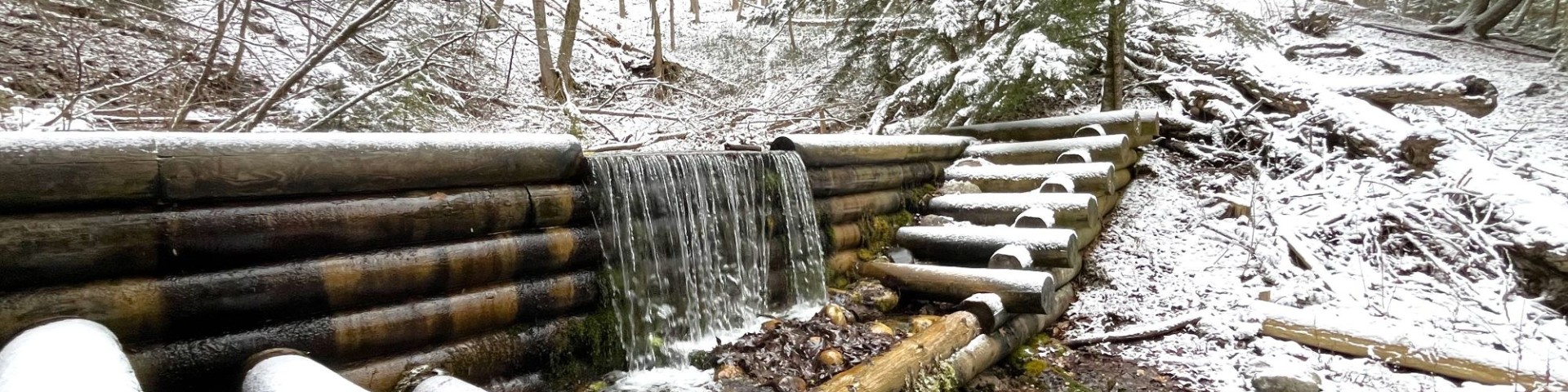
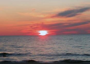
Along the Au Sable River is the Au Sable Special Area, a 10,628 acre area characterized by flat to gently rolling hills with some steep banks along the Au Sable River.

This recreation region contains all recreation sites located near the Corsair Area, located south of the Au Sable River and River Road National Scenic River in th
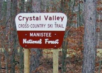
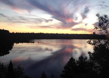
Crystal Valley offers almost 2,000 acres of consolidated federal ownership.

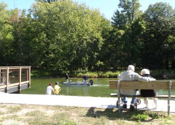
Recreation areas located near Hoist and Reid Lakes, north of the Au Sable River in the northeast corner of the Huron National Forest.
The Hungerford Recreation Area is a nonmotorized area consisting of over 6,500 acres of National Forest System lands.
The recreation sites in this area are all located on the Lake Michigan shoreline or within driving distance of the lake.

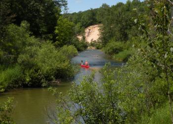
The Little Manistee River offers many opportunities for steelhead and trout fishing.
The river corridor features steep banks and unique scenery. The forest along the river varies from mixed oak, pine and aspen to white cedar and hemlock stands.
This area covers all recreation areas along M-37 between White Cloud and Baldwin. This does not include trailheads for the North Country National Scenic Trail or Hung
The Manistee River, from Tippy Dam to the M-55 Bridge, is a designated National Recreation River. There are several river access sites, day use areas and campgrounds
The 3,500 acre Nordhouse Dunes Wilderness Area is a beautiful and complex feature along Lake Michigan’s eastern shoreline, in the Huron-Manistee National Forest, located be
The Pere Marquette National Scenic River is a sixty-six mile stretch from the junction of the Middle and Little South Branches east of Baldwin to the Old Highway
The lower 26-miles of the Pine River was designated a National Scenic River in 1992.
This river is not navigable for canoeing or boating, however it is an excellent river for cold-water fishing.
Recreation areas near the Wakeley Lake. This is the section of the Huron National Forest furthest west, and most sites are located along or north of M-72.