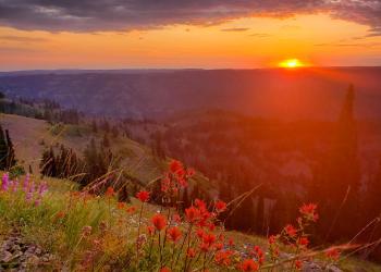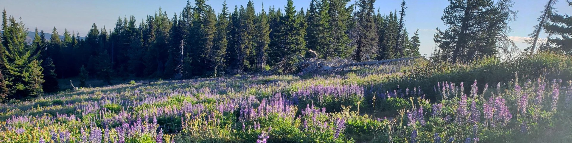
Welcome to Umatilla National Forest
The Umatilla National Forest, located in the Blue Mountains of southeast Washington and northeast Oregon, covers 1.4 million acres of diverse landscapes and plant communities. The Forest has some mountainous terrain, but most of the area consists of v-shaped valleys separated by narrow ridges or plateaus. The landscape includes heavily timbered slopes, grassland ridges and benches, and bold basalt outcroppings with elevations from 1,600 to 8,000 feet above sea level.
Plan Your Visit
Recreation Passes
Some recreation sites require a day use fee. Find out where fees are charged and which passes may be used to cover these fees.
Forest Products
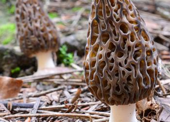
Find out if you need a permit to harvest forest products including fuelwood, post and poles, Christmas trees, berries, mushrooms, and more.
Visitor Maps & Guides
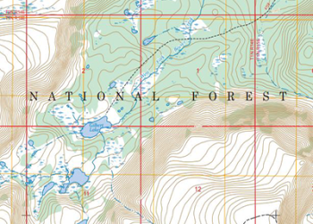
We offer a variety of maps on the Umatilla National Forest including topography maps, Motor Vehicle Use Maps, OHV Complex maps and more! You can digitally download some for free or purchase others online or in-person.
Public Use Restrictions
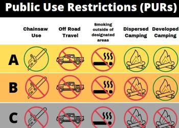
Determine if fire restrictions are in place for campfires, personal-use chainsaw use, and more.
Prescribed Fire Information Interactive Map
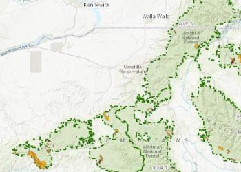
This interactive map includes current and planned prescribed burns for the Umatilla National Forest.
Working with Us

The Umatilla National Forest has prepared a Request for Expressed Interest (RFEI) to determine levels of interest in potential future campground concession opportunities on the Walla Walla Ranger District. In addition, the Forest is seeking qualified outfitters and guides to support growing needs on the Pomeroy Ranger District, and a prospectus for this Outfitting and Guiding Opportunity is now available. Learn more about these opportunities on the Working with Us webpage.
Important Forest Updates:
- Blue Mountains Forest Plan Revision
- Northern Blues Collaborative Forest Landscape Restoration Program (CFLRP)
- 2020 Winter Flood Damage and Repair: Walla Walla and Pomeroy Ranger Districts | North Fork John Day Ranger District
- Disaster Relief Funding
- Great American Outdoors Act
- Invasive Plant Treatments
- Timber Sales
- Resource Advisory Committees