Tahoe National Forest - Caring for the Land & Serving People

Tahoe National Forest Welcomes You

From the foothills to the peaks of the Sierra Nevada mountains, opportunity awaits

Discover the Tahoe


  • Tahoe National Forest 2023 Christmas Tree Permits

    People pull a Christmas tree through the snow.

    Tahoe National Forest is offering Christmas tree permits Nov. 7 through Dec. 31. Learn more below.

  • North Yuba Landscape

    North Yuba thumbnail

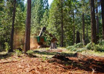
    The North Yuba Landscape includes a 275,000-acre planning area to implement forest management work to reduce wildfire risk.

  • Popular Recreation Activities

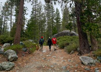
    It's All Yours! Grouse Ridge

    HikingCampingWinter sports.OHV RidingFishingHunting Icon
    We have lots more information about recreation opportunities across the forest!

  • E-Bike Opportunities

    Lavezolla Creek Trail

    The Tahoe National Forest offers a wide variety of e-bike riding opportunities. This includes over 2,000-miles of roads, 195-miles of OHV trails, 190 miles of single-track motorcycle trails, and an additional 35 miles of newly designated single track available to Class-1, pedal-assisted E-Bikes. All roads and trails open to motor vehicle use are available for all classes of e-bikes

Highlighted Areas

Boca Historic Townsite InterpretiveTrail

Boca Townsite Trail showcases the boom and bust of the historic town of Boca as it transitioned from a construction camp for the Central Pacific Railroad to the Boca Mill and Ice Company and later to the Boca Brewery.  Interpretive signs illustrate the many faces of the Boca Townsite as the trail winds uphill through what once was the historic town. A small cemetery is at the top of the hill.

This trail has accessible vault toilet, gravel parking lot and paved 0.5 mile loop. Persons with walking impairments may require assistance as portions of the trail exceed 5% slope.

No trash services. Pack it in, pack it out.

Directions: From Truckee take Interstate 80 east for six miles to the Hirschdale exit. Go north under I-80 for approximately 0.3 miles. Cross railroad tracks and take road immediately to the right for trailhead parking. Trail begins near the restroom.


Donner Camp Picnic Site and Interpretive Trail

This easy 1/3 mile interpretive trail offers a glimpse of what the Donner Party went through here in the winter of 1846-47. Six trailside signs are personalized with excerpts from Donner Party member’s letters and diaries. What started out as a hopeful journey towards prosperity ended tragically for the 89 member Donner Party. During the winter of 1846-47, snow trapped the George and Jacob Donner families here in Alder Creek Valley. Others were stranded six miles to the southwest at Donner Lake. Nearly half of the Donner Party died in these mountains. The rest survived the ordeal with bitter memories of cold, hunger and death.

Accessible vault toilet and picnic tables.

No trash services. Pack it in, pack it out.

Directions: From Truckee take Highway 89 North approximately three miles north of I-80.  Look for Donner Camp Picnic Site on the right.


Recreation Areas