Arapaho and Roosevelt National Forests & Pawnee National Grassland
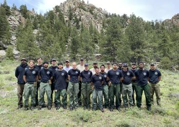
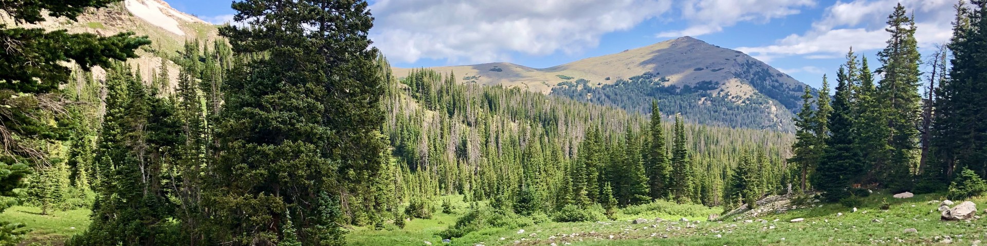
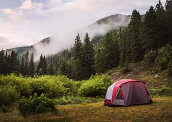
Located in north central Colorado and one of the most-visited National Forests in the country, the Arapaho and Roosevelt National Forests and Pawnee National Grassland encompass 1.5 million acres across five districts and are home to some of the most Epic Adventures in the Rocky Mountains.
We've got a new look!
We have recently upgraded to a new web platform to better serve the public. With thousands of pages to update, some content may take additional time to appear. Some older content has been archived during this move as well.
We appreciate your patience as we work to make it easier than ever to access information and explore your national forests - both online and on the ground.
If you cannot find what you are looking for, please submit your question using the form on our Contact Us page.
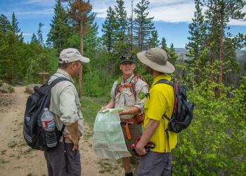
Know Before You Go
- Current conditions - roads, campgrounds, and trails
- Trip planning resources
- Safety considerations before you head out
Maps
- Motor Vehicle Use Maps
- Topographic Maps
- Bird Tour Map
Permits
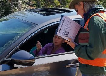
- Permits for events, firewood, photography, and other specials uses
- Need a recreation pass instead?