
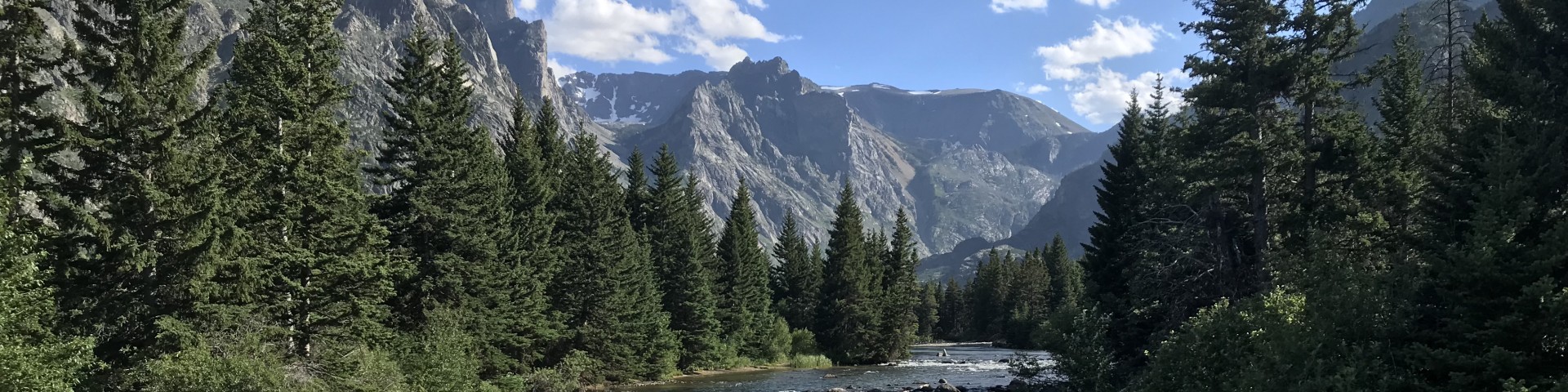
Welcome to Custer Gallatin National Forest
A diverse and stunning landscape, 3+ million acres, critical to the Greater Yellowstone Ecosystem and stretching to the remote buttes and pine savannahs of southeastern MT and South Dakota.
Be Bear Aware
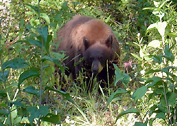
Montana is bear country. For the safety of humans and all native wildlife, be bear aware! A food storage order is in place. Learn how to properly hike, recreate and be bear aware.
Passes and Permits
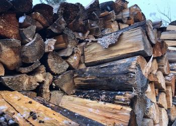
Many opportunities across the Forest are free. Activities such as forest products, firewood, commercial or special uses, require permits to help maintain and improve recreational amenities.
Maps
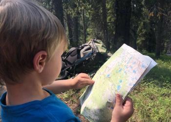
Whether looking for a general forest map, a supplementary map on forest access, forest orders or motor vehicle use maps for summer and winter we have you covered
Plan An Adventure
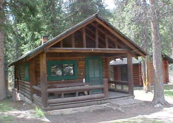
From cabins to campgrounds, Recreation.gov offers numerous opportunities for people to explore, each with their own flair and flavor.
Great American Outdoors Act
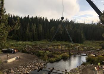
Known as GAOA, this funding is allowing us to invest in recreation infrastructure, public lands access, and land and water conservation.
Employment Seasonal & Permanent
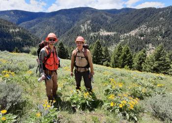
Find out more about employment opportunities. Jobs available including fire, timber, wildlife, recreation and many more.


