Arapaho and Roosevelt National Forests & Pawnee National Grassland
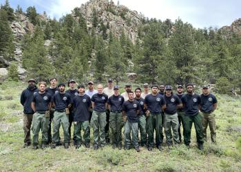
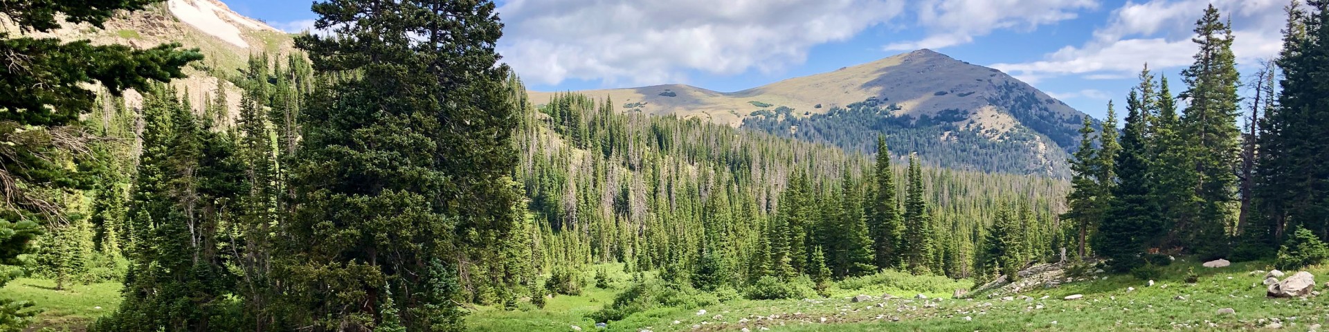
Located in north central Colorado and one of the most-visited National Forests in the country, the Arapaho and Roosevelt National Forests and Pawnee National Grassland encompass 1.5 million acres across five districts and are home to some of the most Epic Adventures in the Rocky Mountains. We hope you enjoy your visit.
If you cannot find what you are looking for, please submit your question using the form on our Contact Us page.
Know Before You Go
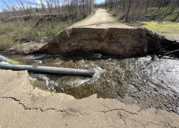
- Current conditions - roads, campgrounds, and trails
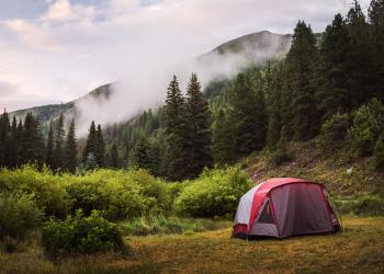
- Trip planning resources
- Safety considerations before you head out
Maps
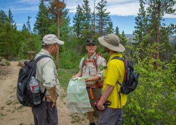
- Motor Vehicle Use Maps
- Topographic Maps
- Bird Tour Map
Permits
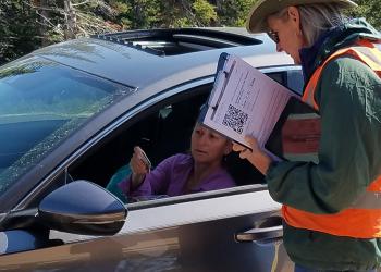
- Permits for events, firewood, photography, and other specials uses
- Need a recreation pass instead?