

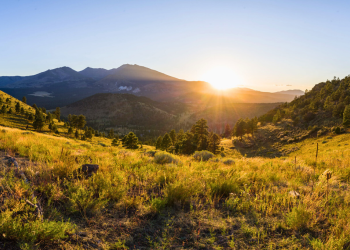
Welcome to the Coconino National Forest
The Coconino National Forest is one of the most diverse forests in the country with changing landscapes and activities around every corner. Whether you're hiking the canyons and cliffs of the Mogollon Rim, skiing down Flagstaff's slopes, or mountain biking through the towering red rocks of Sedona, there's an opportunity for everyone.
Plan Your Visit
Stay a While
Whether you're booking in advance or planning a last-minute trip, we've got plenty of campsites to choose from.
Find Your Way
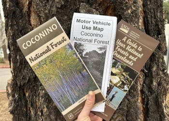
You'll want to lose yourself in the adventure, but maps and brochures will help you find your way.
Status of Forest Roads
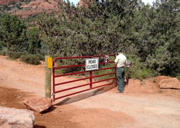
Is your destination within reach? Check the status of main forest roads to see if they are open or closed.
Recreation Passes
Make sure you've got the right pass in hand for your adventure.
Permits
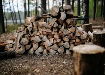
Collecting firewood, filming, getting married, holding an event, or offering a guided service on forest lands? See if your activity requires a permit.
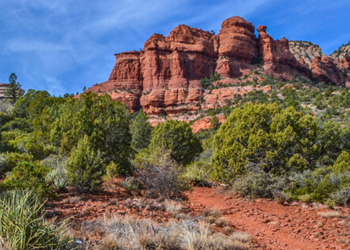
Enjoy the Journey

With more than 1.8 million acres, Coconino NF offers a myriad of recreation opportunities.

