
Recreation
Bitterroot National Forest Trail Clearing Status Map

Use this map tool to view and search what trails and when those trails were cleared of down trees on Bitterroot National Forest trails.


Recreation
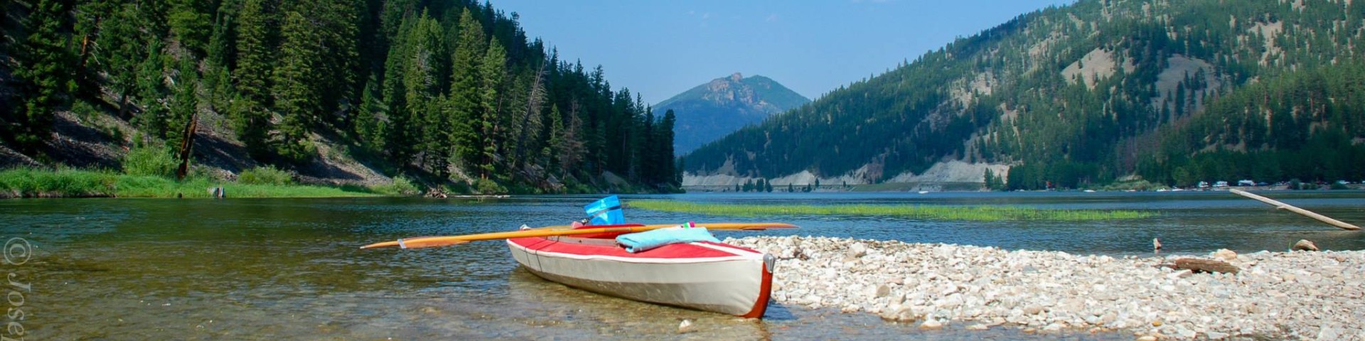
South Lake Como Boating Site
Site Open
The Lake Como Boat Launch Site is located within the Lake Como Recreation Area, located between Darby and Hamilton, Montana. The site hosts 38 boat trailer parking spots and a 4-section floating…
Spot Mountain Trailhead
Spot Mountain Trailhead has parking suitable for a few cars. It accesses Trail #3 to Spot Mountain Lookout. There are no facilities.
Spring Gulch Campground
Site Closed
Located on the banks of the East Fork of the Bitterroot River, this campground is nestled in a grassy ponderosa pine area. It offers easy access from Highway 93 and hosts 10 sites, plus 1 bicycle…
St. Mary Peak Trail # 116
The St. Mary Peak trail is 3.8 miles long. It begins at Forest Road 739 and ends at St. Mary Peak Lookout. The trail is open for the following uses: Horseback Riding, Motorcycle Trail Riding
St. Mary's Trailhead
St. Mary Trailhead has adequate parking for both cars and trailers. It offers access to St. Mary Peak Trail #116, St. Mary Lookout and the Selway-Bitterroot Wilderness. Facilities include a vault…
Stevensville RD
The many miles of trails on the Stevensville Ranger District provide opportunities ranging from short day-trips to extended back-country trips.
Sula RD
The many miles of trails on the Sula Ranger District provide opportunities ranging from short day-trips to extended back-country trips.
Sweathouse Trailhead
Sweathouse Trailhead has adequate parking for both cars and trailers. It offers access to Sweathouse Creek Trail #121 and the Selway Bitterroot Wilderness. No facilities.
Sweeney Trailhead
Sweeney Trailhead has an adequate parking area for cars and trailers. It accesses Sweeney Ridge Trail #393, a number of mountain lakes, and the Selway-Bitterroot Wilderness. There are no facilities.
Swift Creek Trailhead
Hitching rail provided