
Little Missouri National Grassland
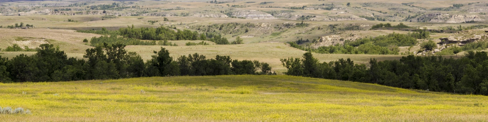
The Little Missouri National Grassland is located in western North Dakota and covers 1,033,271 acres, making it the country's largest grassland. Its predominant features are colorful and beautiful badlands and rugged terrain extensively eroded by wind and water. It is a mixed-grass prairie, meaning it has both long and short grass. Within the national grassland's boundaries, significant portions are state-owned and privately owned land, much of it leased by cattle ranchers for grazing. Overall, in descending order of land area, it is located in parts of McKenzie, Billings, Slope, and Golden Valley counties.
Scenic Sites
White Butte, Painted Canyon, Horseshoe Hills, and the Maah Daah Hey Trail are all impressive scenic sites in the area. Check out the Epic Adventures page for details.
Wildlife Viewing
The region is known for grassland and prairie birds commonly seen in the area, such as sparrows, horned larks, and various hawks. These grasslands are home to many target species like Long-billed Curlews, sparrows (Grasshopper, Chipping, Field, Lark, Vesper, Savannah, Spotted Towhee), Short-eared Owls, and Burrowing Owls. Visit the Animals page for more details.
Management
The USDA Forest Service administers as part of the Dakota Prairie Grasslands from the Supervisor's Office in Bismarck, North Dakota. The McKenzie Ranger District Station manages the Little Missouri National Grassland to the north and the Medora Ranger District Station oversees to the south.