
Boulder Ranger District
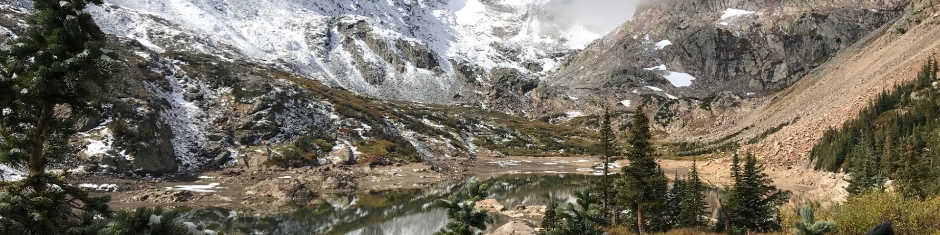
The Boulder Ranger District encompasses over one hundred thousand acres of the Front Range in western Boulder and northern Gilpin counties. The district includes Indian Peaks and James Peak Wilderness Areas and the Peak to Peak Scenic Byway.
Many areas of the district are within an easy two-hour drive of Denver and its suburbs, making this one of the top recreation destinations in the state.
General Information
The Boulder Ranger District encompasses over one hundred thousand acres of the Front Range in western Boulder and northern Gilpin counties. The district includes Indian Peaks and James Peak Wilderness Areas and the Peak to Peak Scenic Byway.
Many areas of the district are within an easy two-hour drive of Denver and its suburbs, making this one of the top recreation destinations in the state.
Passes & Permits
- Indian Peaks Wilderness Permits
- Firewood collection permits are sold here for areas within the Boulder Ranger District.