
Recreation
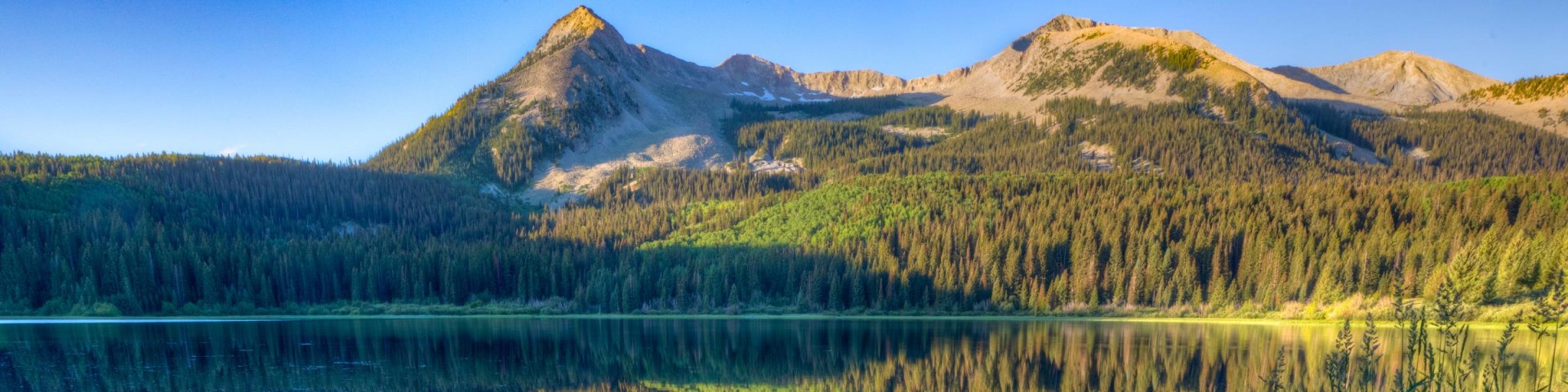
Grand Mesa, Uncompahgre and Gunnison National Forests offer scenery and an abundance of opportunities for outdoor recreation. Over 3,500 miles of trails and routes provide access to areas of rugged beauty and solitude. Many were carved by indigenous peoples, early explorers, and miners, and offer an experience that connects users to the land and to the past. The mountains, plateau, and mesa that make up the forest will always provide a scenic backdrop and thus a component of the quality of life in the area.
We invite you to visit our forest and enjoy the beauty, history and challenges it has to offer. Recreation, motor vehicle and quad maps are available. View a Ranger District location map.

West Bench Cross Country Ski
The West Bench Trail #501 begins at the information sign and travels southward where it crosses a wooden bridge over Mesa Creek. It intersects a natural road and heads northwest paralleling the…
West Dyer #885
The West Dyer Trail #885 begins at an intersection with the Dyer Connection Trail #886 and ends at an intersection with the Mendicant Trail #884. The trail follows the West Dyer drainage from…
West Elk Wilderness
West Elk Wilderness within Gunnison National Forest is 176,412 acres, the fifth largest Wilderness in Colorado. Elevations range from 7,000 to over 13,000 feet. This Wilderness is a large untamed…
West Fork #240
The West Fork Trail #240 starts at Forest Service Road #858.3G, and ends and Forest Service Road 858, Owl Pass/Cimarron Road. It starts near the Middle Fork of the Cimarron River, climbs a ridge…
West Green Mountain #719.1A
The West Green Mountain Trail #719.1A begins on Forest Service Road 129, Hay Park Road, and ends on FSR 125, Surface Creek Road. This trail begins on an old two track as it passes south of Prebble…
West Salt Creek #513
West Salt Creek Trail #513 forks northwest off Salt Creek. The trail travels through open meadow bordered by aspen stands, then levels off through spruce, fir and aspen before entering a small…
Wetterhorn Basin #226
The Wetterhorn Basin Trail #226 begins at the end of Forest Service Road #860, West Fork Road, and ends at Forest Service Road #870. This trail is a popular and very scenic route leading into a…
Wetterhorn Peak #256
Forest Trail #256 (Wetterhorn Peak Trail) is 1.4 miles long. It begins at Forest Trail #233 (Ridge Stock Driveway Trail) and ends at the summit. Forest Trail #256 is open for the following uses:…
Whetstone Vista #602
The Whetstone Vista Trail #602 begins on County Road 738, Brush Creek Road, and ends at an intersection with the Upper Upper Loop Trail #435.1A. This trail ascends through a dense aspen grove that…
Whipple Mountain #419
The Whipple Mountain Trail #419 begins at Forest Service Road #638, Last Dollar Road, and ends at an intersection with the Deep Creek Trail #418. The trail climbs east through an aspen grove as it…