
Recreation
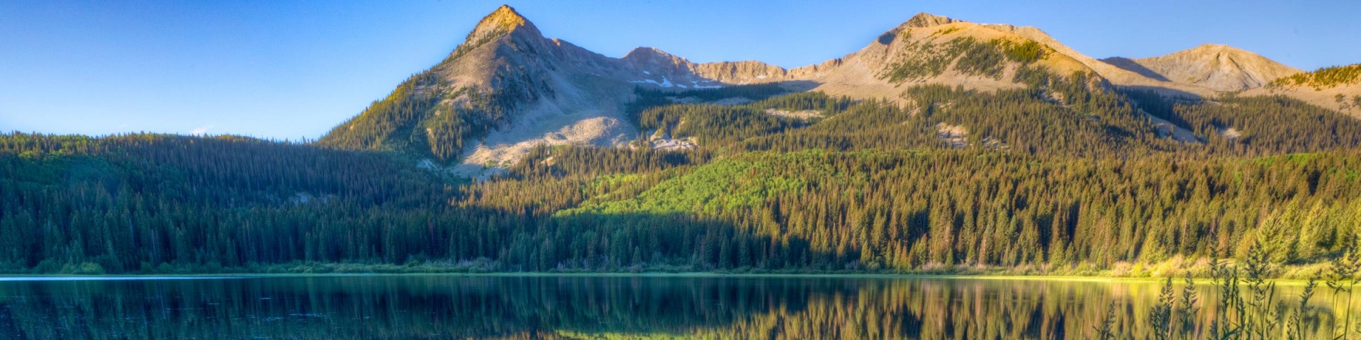
Grand Mesa, Uncompahgre and Gunnison National Forests offer scenery and an abundance of opportunities for outdoor recreation. Over 3,500 miles of trails and routes provide access to areas of rugged beauty and solitude. Many were carved by indigenous peoples, early explorers, and miners, and offer an experience that connects users to the land and to the past. The mountains, plateau, and mesa that make up the forest will always provide a scenic backdrop and thus a component of the quality of life in the area.
We invite you to visit our forest and enjoy the beauty, history and challenges it has to offer. Recreation, motor vehicle and quad maps are available. View a Ranger District location map.

Box Factory #200.1B
The Box Factory Trail #200.1B begins at the end of Forest Service Road #850 and ends at the Uncompahgre Wilderness boundary. The trail is an old two track and it follows West Fork Dallas Creek its…
Bret Point #649
The Bret Point Trail #649 is a steep, short trail which receives most of its use by the range permittees who drive their cattle out on Bret Point. It is the only designated route providing access…
Bridal Veil #636
The Bridal Veil Trail #636 starts at the road closure gate on Forest Service road #648 and ends at an intersection with the Wasatch Trail #508 and the Blixt Trail #508.1. It proceeds south for about…
Brown's Pass #369
The Brown’s Pass Trail #369 begins at the intersection with the Texas Creek Trail #416 in the Collegiate Peaks Wilderness at an elevation of 10,770 feet and ends at the Denny Creek Trailhead on the…
Brush Creek #400
The Brush Creek Trail #400 begins at the end of East Brush Creek Road, FSR #738.2B and ends at the Taylor River Head Road, FSR #761.1D. This trail follows the east branch of Brush Creek for its…
Brush Creek #457
Forest Trail #457 (Brush Creek Trail) is 3.4 miles long. It begins at Forest Trail #458 and ends at Forest Trail #464. Forest Trail #457 is open for the following uses: hiking, and Off-Highway…
Brush Creek #529
The Brush Creek Trail #529, which is moderate in difficulty, is perhaps the best way to access some of the most scenic parts of the Battlement Trail. The trail travels through oakbrush, aspen and…
Brush Creek Connector #627
The Brush Creek Connector Trail #627 begins on Forest Service Road 736, Farris Creek Road, and ends at an intersection with FSR 738, Brush Creek Road and FSR 738.2B, East Brush Creek Road. This trail…
Brush Creek Winter Trailhead
For a description of the area please call the Gunnison Ranger District at 970-641-0471
Buck #149
The Buck Trail #149 begins at Forest Service Road #560 and ends at an intersection with the Aspen Trail #125. This is a popular trail that starts out heading south and turns north after about 0.3…